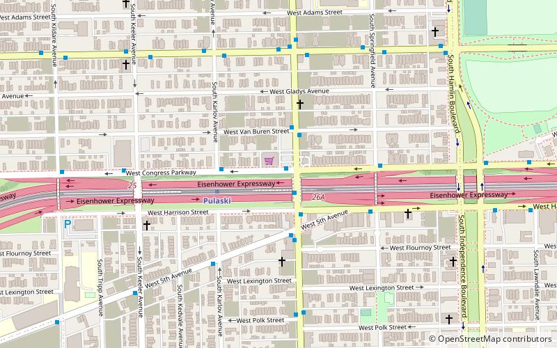
Pulaski Road, Chicago
Map
Facts and practical information
Pulaski Road is a major north-south street in the city of Chicago, at 4000 W. or exactly five miles west of State Street. It is named after American Revolutionary War hero Casimir Pulaski. ()
Coordinates: 41°52'27"N, 87°43'34"W
Address
West Side (West Garfield Park)Chicago
ContactAdd
Social media
Add
Getting there by public transportation
Public transportation stops near this location
- Metro
- Bus
- Train
 Metro
Metro
- Calculate routeCongress & Pulaski 1 min walk
- Calculate routePulaski Blue Line Station 1 min walk
- Calculate routePulaski 20 min walk
- Calculate routeKedzie 36 min walk
Maps Rail "L"
Rail "L"Day trips


Frequently Asked Questions (FAQ)
Which popular attractions are close to Pulaski Road?
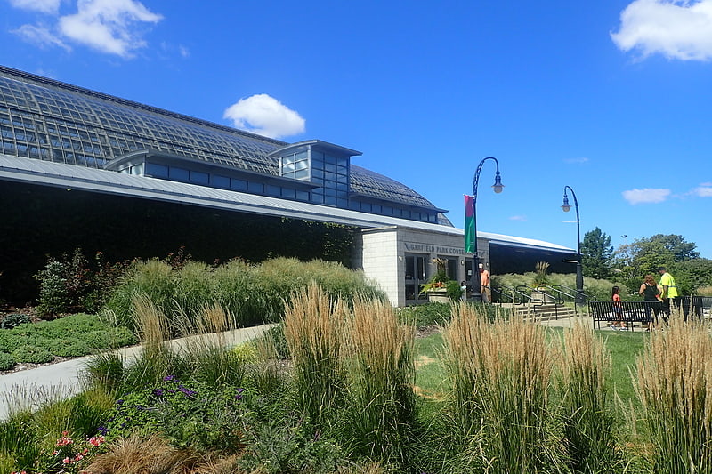
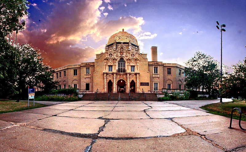
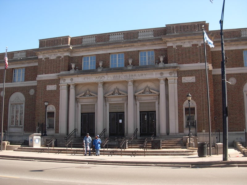
Nearby attractions include Henry E. Legler Regional Branch of the Chicago Public Library, Chicago (9 min walk), West Garfield Park, Chicago (12 min walk), Garfield Park, Chicago (18 min walk), Chicago Telephone Company Kedzie Exchange, Chicago (23 min walk).
How to get to Pulaski Road by public transport?
The nearest stations to Pulaski Road:
Bus
Metro
Train
Bus
- Congress & Pulaski • Lines: 7 (1 min walk)
- Pulaski Blue Line Station • Lines: 53, (N) N53 (1 min walk)
Metro
- Pulaski • Lines: Blue, Green (20 min walk)
Train
- Kedzie (36 min walk)