Tribeca Dog Run, New York City
Map
Facts and practical information
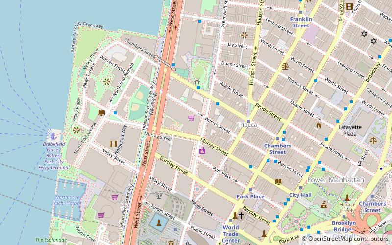
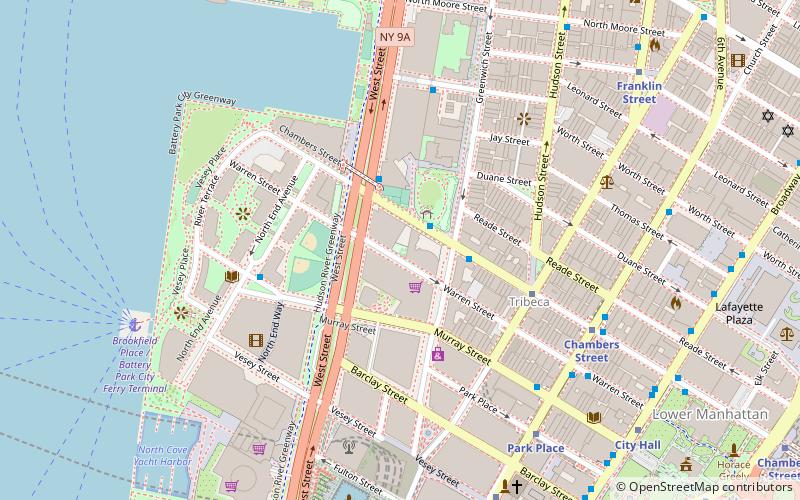
The Tribeca Dog Run is a 4,000-square-foot public park located in the New York City borough of Manhattan. It is located on Warren Street between Greenwich Street and West Street in the Tribeca neighborhood. ()
Elevation: 7 ft a.s.l.Coordinates: 40°42'58"N, 74°0'43"W
Address
Downtown Manhattan (Tribeca)New York City
ContactAdd
Social media
Add
Day trips
Tribeca Dog Run – popular in the area (distance from the attraction)
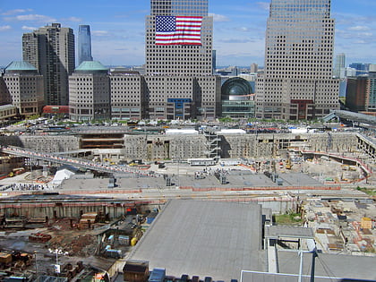
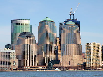
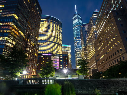
Nearby attractions include: One World Trade Center, Brookfield Place, 225 Liberty Street, World Trade Center site / Ground Zero.
Frequently Asked Questions (FAQ)
Which popular attractions are close to Tribeca Dog Run?
Nearby attractions include 101 Warren Street, New York City (2 min walk), West Street pedestrian bridges, New York City (2 min walk), Washington Market Park, New York City (2 min walk), Duane Park, New York City (4 min walk).
How to get to Tribeca Dog Run by public transport?
The nearest stations to Tribeca Dog Run:
Metro
Bus
Ferry
Light rail
Metro
- Chambers Street • Lines: 1, 2, 3, A, C (6 min walk)
- World Trade Center • Lines: Hob–Wtc, Nwk–Wtc (7 min walk)
Bus
- Church Street & Warren Street • Lines: 120 (7 min walk)
- The Oculus (8 min walk)
Ferry
- Brookfield Place / Battery Park City Ferry Terminal (8 min walk)
- Battery Park • Lines: Sc-Ny (25 min walk)
Light rail
- Exchange Place • Lines: Hblr (30 min walk)
- Harborside Financial Center • Lines: Hblr (30 min walk)
 Subway
 Manhattan Buses


