Cascade Heights, Atlanta
Map

Map

Facts and practical information
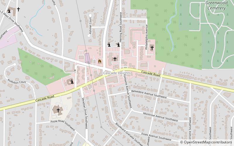
Cascade Heights is an affluent neighborhood in southwest Atlanta. It is bisected by Cascade Road, which was known as the Sandtown Road in the nineteenth century. The road follows the path of the ancient Sandtown Trail which ran from Stone Mountain to the Creek village of Sandtown on the Chattahoochee River and from there on into Alabama. Ironically, the name lived on even after the Indians were expelled in the 1830s. ()
Coordinates: 33°43'20"N, 84°27'48"W
Address
Southwest Atlanta (Adams Park)Atlanta
ContactAdd
Social media
Add
Day trips
Cascade Heights – popular in the area (distance from the attraction)
Nearby attractions include: Greenbriar Mall, Oakland City, Westview Cemetery, Atlanta State Farmers' Market.
Frequently Asked Questions (FAQ)
Which popular attractions are close to Cascade Heights?
Nearby attractions include Greenwood Cemetery, Atlanta (14 min walk), Utoy Cemetery, Atlanta (22 min walk).


