Alfred Tup Holmes Golf Course, Atlanta
Map

Map

Facts and practical information
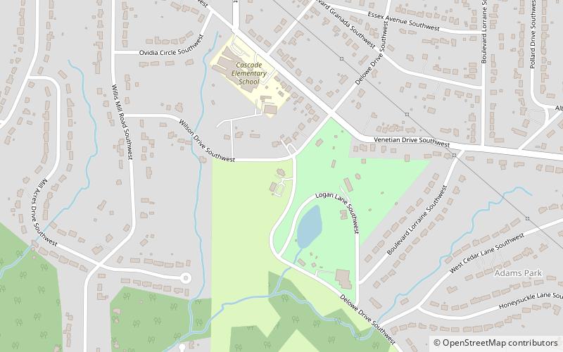
Alfred Tup Holmes Golf Course (address: 2300 Wilson Dr SW) is a place located in Atlanta (Georgia state) and belongs to the category of golf, outdoor activities.
It is situated at an altitude of 961 feet, and its geographical coordinates are 33°42'52"N latitude and 84°27'51"W longitude.
Among other places and attractions worth visiting in the area are: Cascade Heights (neighbourhood, 14 min walk), Utoy Cemetery (cemetery, 20 min walk), Greenwood Cemetery (cemetery, 24 min walk).
Coordinates: 33°42'52"N, 84°27'51"W
Address
2300 Wilson Dr SWSouthwest Atlanta (Adams Park)Atlanta 30311-3338
Contact
+1 404-753-6158
Social media
Add
Day trips
Alfred Tup Holmes Golf Course – popular in the area (distance from the attraction)
Nearby attractions include: Greenbriar Mall, Perkerson Park, Oakland City, Westview Cemetery.
Frequently Asked Questions (FAQ)
Which popular attractions are close to Alfred Tup Holmes Golf Course?
Nearby attractions include Cascade Heights, Atlanta (14 min walk), Utoy Cemetery, Atlanta (20 min walk).


