Smithson and McKay Brothers Blocks, Portland
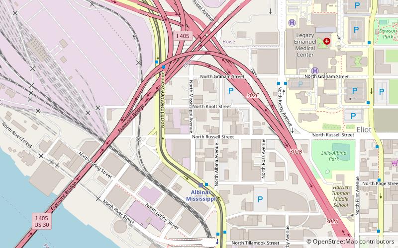
Map

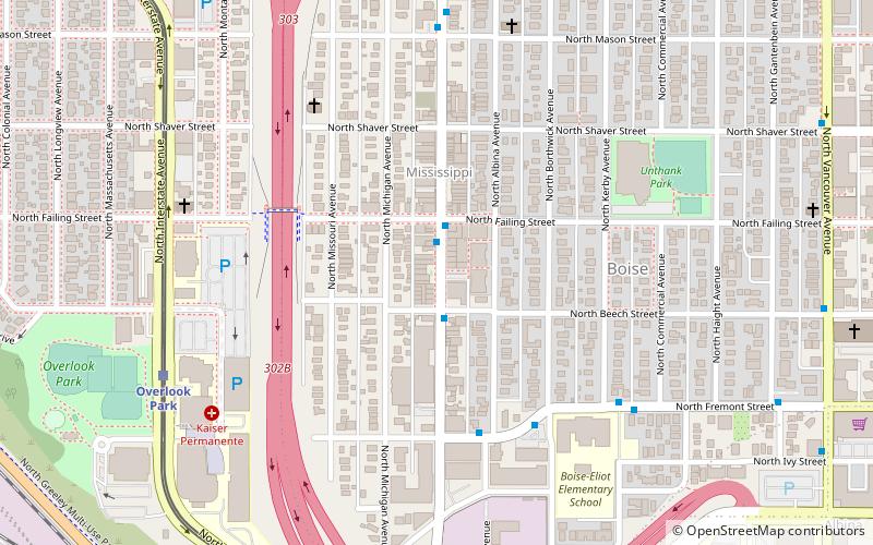
Map

Facts and practical information
The Smithson and McKay Brothers Blocks, located at 943 and 927 North Russell Street in Portland, Oregon, are included on the National Register of Historic Places. ()
Coordinates: 45°32'29"N, 122°40'32"W
Address
Northeast Portland (Eliot)Portland
ContactAdd
Social media
Add
Day trips
Smithson and McKay Brothers Blocks – popular in the area (distance from the attraction)
Nearby attractions include: Mississippi Studios, Stag PDX, CC Slaughters, Jimmy Mak's.
Frequently Asked Questions (FAQ)
Which popular attractions are close to Smithson and McKay Brothers Blocks?
Nearby attractions include Davis Block, Portland (1 min walk), Frederick Torgler Building, Portland (2 min walk), Eliot, Portland (9 min walk), Fremont Bridge, Portland (11 min walk).
How to get to Smithson and McKay Brothers Blocks by public transport?
The nearest stations to Smithson and McKay Brothers Blocks:
Light rail
Bus
Tram
Train
Light rail
- Albina/Mississippi • Lines: Yellow (4 min walk)
- Overlook Park • Lines: Yellow (15 min walk)
Bus
- North Interstate & Albina • Lines: 35, 85 (4 min walk)
- North Interstate & Graham • Lines: 35 (4 min walk)
Tram
- North Broadway & Ross • Lines: B (15 min walk)
- North Weidler & Ross • Lines: A (15 min walk)
Train
- Portland Union Station (22 min walk)


