Second Church, Boston
Map
Facts and practical information
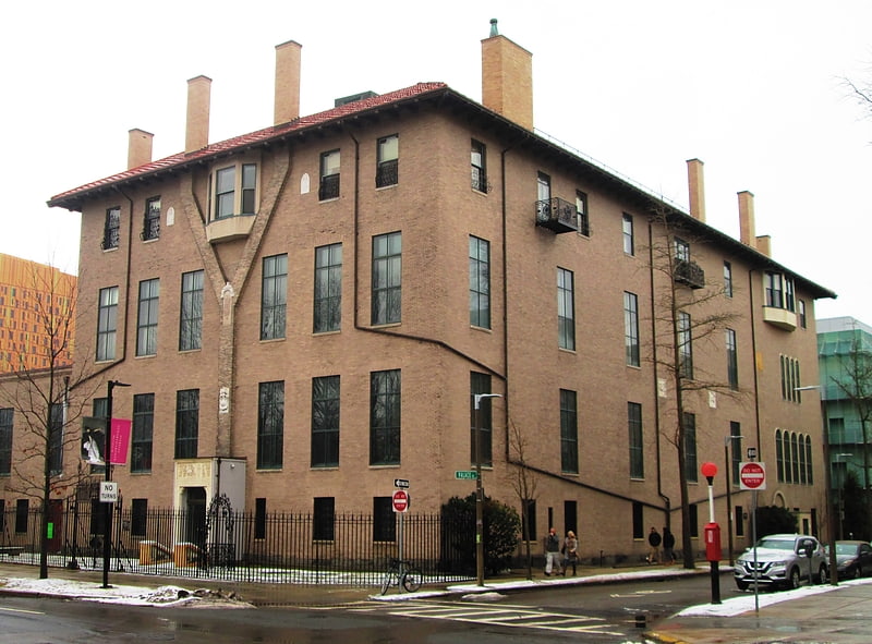
The Second Church in Boston, Massachusetts, was first a Congregational church, and then beginning in 1802, a Unitarian church. The congregation occupied a number of successive locations around town, including North Square, Hanover Street, Copley Square, and the Fenway. Ministers included Michael Powell, Increase Mather, Cotton Mather, and Ralph Waldo Emerson. In 1970 it merged with Boston's First Church. ()
Coordinates: 42°20'49"N, 71°6'18"W
Address
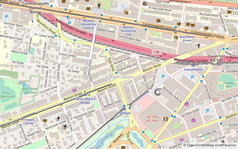
Fenway - Kenmore - Audubon Circle - LongwoodBoston
ContactAdd
Social media
Add
Getting there by public transportation
Public transportation stops near this location
- Metro
- Bus
- Light rail
- Train
 Metro
Metro
- Calculate routePark Dr @ Beacon St 1 min walk
- Calculate routeCommonwealth Ave @ Hinsdale St 5 min walk
- Calculate routeFenway 4 min walk
- Calculate routeSaint Mary's Street 4 min walk
- Calculate routeBoston University East 5 min walk
- Calculate routeLansdowne 8 min walk
- Calculate routeRuggles 28 min walk
- Calculate routeRuggles 28 min walk
- Calculate routeMassachusetts Avenue 30 min walk
- Calculate routeRoxbury Crossing 31 min walk
- Calculate routeKendall/MIT 37 min walk
Maps MBTA Subway
MBTA SubwayDay trips


Frequently Asked Questions (FAQ)
Which popular attractions are close to Second Church?
Nearby attractions include Ruggles Baptist Church, Boston (1 min walk), Warren Towers, Boston (5 min walk), Peter Fuller Building, Boston (6 min walk), Tsai Performance Center, Boston (6 min walk).
How to get to Second Church by public transport?
The nearest stations to Second Church:
Bus
Light rail
Train
Metro
Bus
- Park Dr @ Beacon St • Lines: 47 (1 min walk)
- Commonwealth Ave @ Hinsdale St • Lines: 57 (5 min walk)
Light rail
- Fenway • Lines: D (4 min walk)
- Saint Mary's Street • Lines: C (4 min walk)
Train
- Lansdowne (8 min walk)
- Ruggles (28 min walk)
Metro
- Ruggles • Lines: Orange (28 min walk)
- Massachusetts Avenue • Lines: Orange (30 min walk)