Mile Rock Tunnel, San Francisco
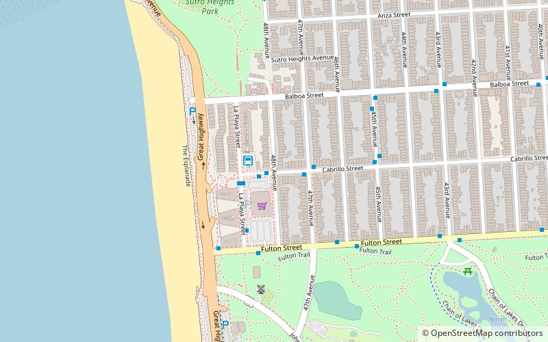
Map
Facts and practical information
Mile Rock Tunnel is a utility tunnel in San Francisco, in the U.S. state of California that was originally constructed as the storm sewer outfall draining the Sunset, West Mission, Richmond, and Ingleside districts. ()
Coordinates: 37°46'24"N, 122°30'32"W
Address
Northwest San Francisco (Outer Richmond)San Francisco
ContactAdd
Social media
Add
Day trips
Mile Rock Tunnel – popular in the area (distance from the attraction)
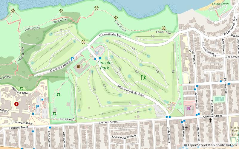
Nearby attractions include: Legion of Honor Museum, Lands End, USS San Francisco Memorial, Golden Gate Park windmills.
Frequently Asked Questions (FAQ)
Which popular attractions are close to Mile Rock Tunnel?
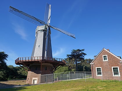
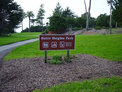
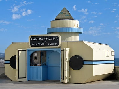
Nearby attractions include Golden Gate Park windmills, San Francisco (6 min walk), Sutro Heights Park, San Francisco (9 min walk), Camera Obscura, San Francisco (12 min walk), Fort Miley Military Reservation, San Francisco (16 min walk).
How to get to Mile Rock Tunnel by public transport?
The nearest stations to Mile Rock Tunnel:
Bus
Train
Light rail
Trolleybus
Bus
- Cabrillo Street & La Playa Street (1 min walk)
- La Playa Street & Cabrillo Street • Lines: 5 (2 min walk)
Train
- Judah Street & La Playa Street (23 min walk)
Light rail
- Judah Street & La Playa Street • Lines: N (24 min walk)
Trolleybus
- Geary Boulevard & 33rd Avenue • Lines: 1 (25 min walk)
- 33rd Avenue & Clement Street • Lines: 1 (26 min walk)
 Muni Metro


