Horus Temple, Grand Canyon National Park

Gallery (3)
Map
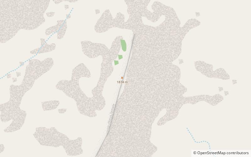
Map
Gallery
Facts and practical information
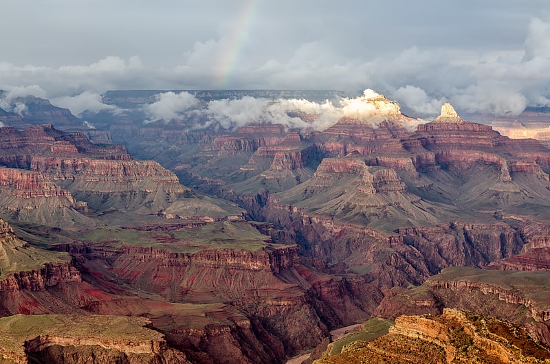
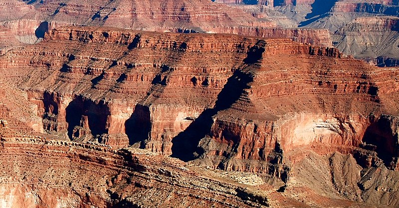
Horus Temple is a 6,150 ft elevation summit located in the Grand Canyon, in Coconino County of Arizona, Southwestern United States. This butte is situated as the central landform in a 3-series line of peaks southwest of the Shiva Temple -tableland prominence. ()
Coordinates: 36°8'17"N, 112°10'40"W
Address
Grand Canyon National Park
ContactAdd
Social media
Add
Day trips