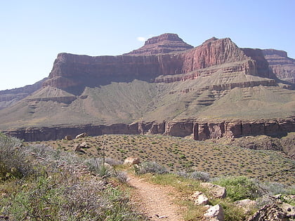
Marsh Butte, Grand Canyon National Park
Map
Gallery
Facts and practical information
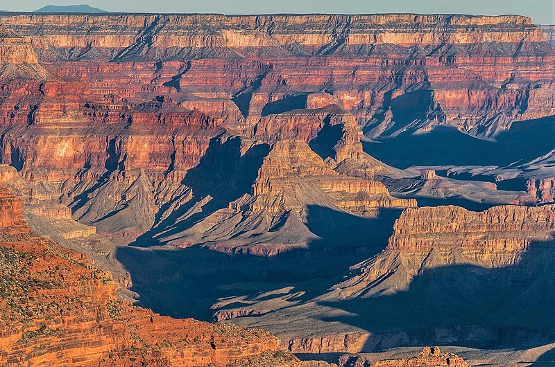
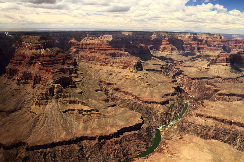
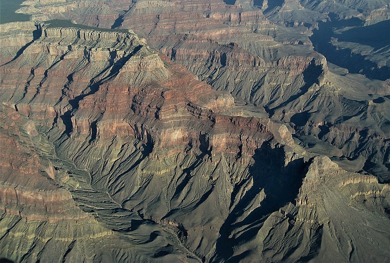
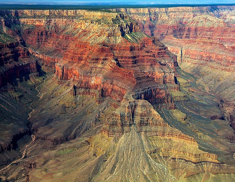
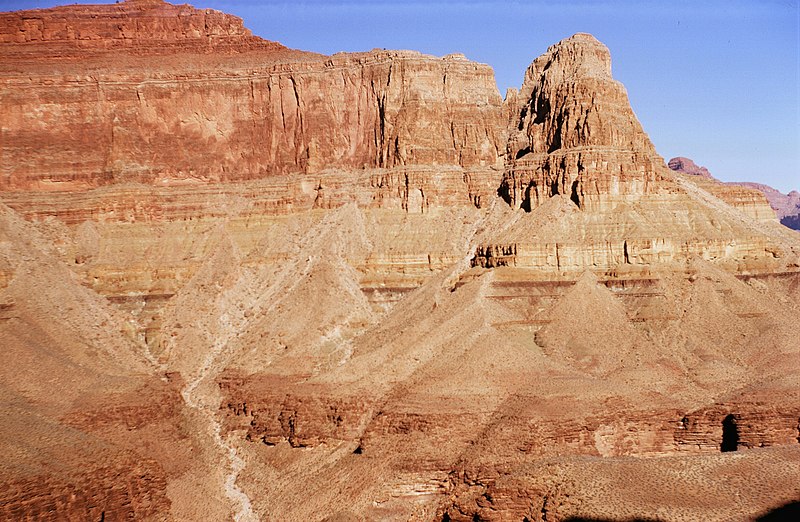
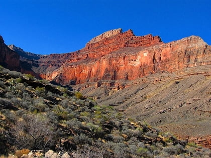
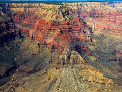
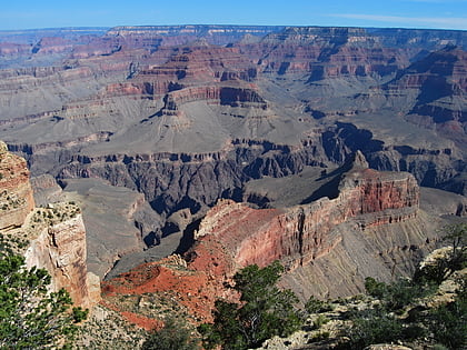
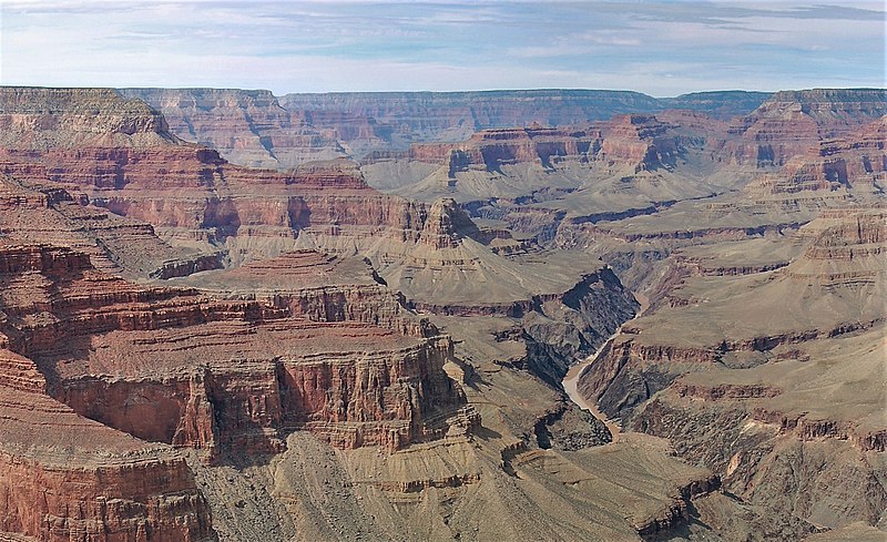
Marsh Butte is a 4,721-foot-elevation summit located in the Grand Canyon, in Coconino County in the northern part of the U.S. state of Arizona. It is situated eight miles northwest of Grand Canyon Village, immediately east-northeast of Diana Temple, and Tower of Ra stands directly opposite across Granite Gorge. Topographic relief is significant, as Marsh Butte rises over 2,300 feet above the Colorado River in half a mile. ()
Coordinates: 36°7'14"N, 112°14'43"W
Address
Grand Canyon National Park
ContactAdd
Social media
Add
Day trips
Marsh Butte – popular in the area (distance from the attraction)
Nearby attractions include: Hermit Trail, Tuna Canyon, Boucher Trail, Pollux Temple.


