Whites Butte, Grand Canyon National Park
Map
Map

Facts and practical information
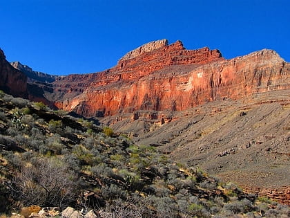
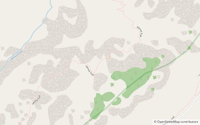
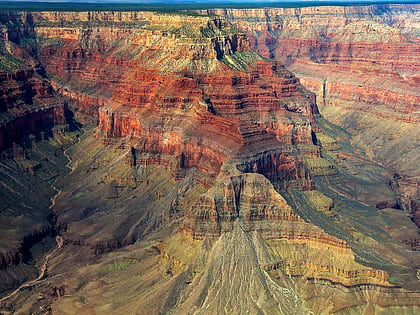
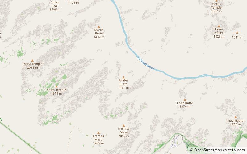
Whites Butte is a 4,860-foot prominence adjacent the course of the Colorado River near the beginning of the Western Grand Canyon,. The butte lies at the terminus of Travertine Canyon, the adjacent canyon west of Hermit Canyon. The Boucher Trail which begins at Upper Hermit Canyon, courses the east base of Whites Butte to reach the Tonto Trail-, on the Tonto Platform, south side of the Colorado River. ()
Coordinates: 36°5'52"N, 112°13'54"W
Address
Grand Canyon National Park
ContactAdd
Social media
Add
Day trips
Whites Butte – popular in the area (distance from the attraction)
Nearby attractions include: Hermit Trail, Boucher Trail, Pollux Temple, The Battleship.

