Pittsburgh and Castle Shannon Tunnel, Pittsburgh
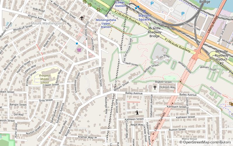
Map
Facts and practical information
The Pittsburgh and Castle Shannon Tunnel, also known as the Mount Washington Coal Tunnel, was a 3 ft 4 in narrow-gauge railway tunnel under Mt. Washington. ()
Coordinates: 40°25'41"N, 80°0'19"W
Address
South Side (Mount Washington)Pittsburgh
ContactAdd
Social media
Add
Getting there by public transportation
Public transportation stops near this location
- Bus
- Light rail
- Train
 Bus
Bus
- Calculate routeVirginia Ave at Shop n Save 5 min walk
- Calculate routeStation Square 7 min walk
- Calculate routeSouth Busway at Station Square 7 min walk
- Calculate routeSouth Hills Junction 13 min walk
- Calculate routeStation Square 7 min walk
- Calculate routeSouth Hills Junction 13 min walk
- Calculate routeFirst Avenue 18 min walk
- Calculate routeBoggs 22 min walk
- Calculate routePittsburgh Union Station 35 min walk
Day trips


Frequently Asked Questions (FAQ)
Which popular attractions are close to Pittsburgh and Castle Shannon Tunnel?
Nearby attractions include Prospect Middle School, Pittsburgh (6 min walk), Monongahela Incline, Pittsburgh (7 min walk), Mount Washington, Pittsburgh (8 min walk), Liberty Tunnel, Pittsburgh (8 min walk).
How to get to Pittsburgh and Castle Shannon Tunnel by public transport?
The nearest stations to Pittsburgh and Castle Shannon Tunnel:
Bus
Light rail
Train
Bus
- Virginia Ave at Shop n Save • Lines: 40 (5 min walk)
- Station Square (7 min walk)
Light rail
- Station Square • Lines: Blue, Red, Silver (7 min walk)
- South Hills Junction • Lines: Blue, Red, Silver (13 min walk)
Train
- Pittsburgh Union Station (35 min walk)