Armistead Gardens, Baltimore
Map

Gallery

Facts and practical information
Armistead Gardens is a neighborhood in the Northeast District of Baltimore. It is located north of Pulaski Highway and east of Erdman Avenue, between Herring Run Park and the East District neighborhood of Orangeville. ()
Area: 0.53 mi²Coordinates: 39°18'30"N, 76°33'8"W
Address
Northeastern Baltimore (Armistead Gardens)Baltimore
ContactAdd
Social media
Add
Day trips
Armistead Gardens – popular in the area (distance from the attraction)
Nearby attractions include: Bohemian National Cemetery, Greater Grace World Outreach, Belair-Edison, Kresson.
Frequently Asked Questions (FAQ)
Which popular attractions are close to Armistead Gardens?
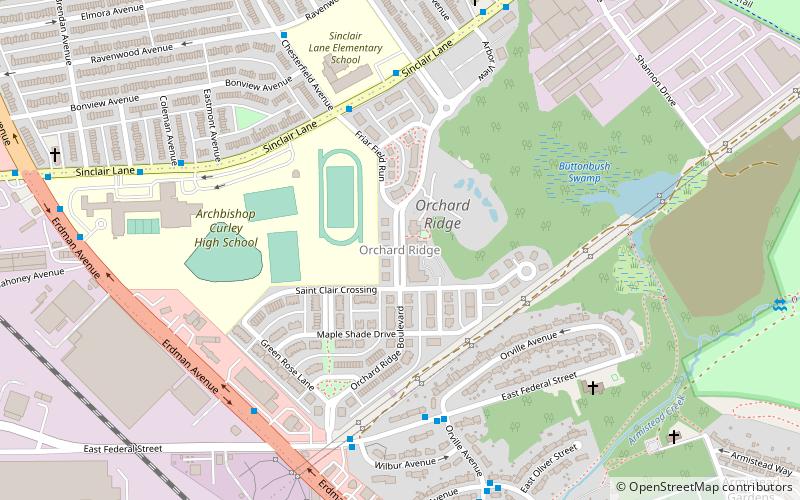
Nearby attractions include Bohemian National Cemetery, Baltimore (3 min walk), Orchard Ridge, Baltimore (13 min walk), Greater Grace World Outreach, Baltimore (18 min walk), Kresson, Baltimore (23 min walk).
How to get to Armistead Gardens by public transport?
The nearest stations to Armistead Gardens:
Bus
Bus
- Pulaski Highway & Moravia Park Drive Eastbound • Lines: 56 (27 min walk)
- Pulaski Highway & 62nd Street Westbound • Lines: 30, 56 (30 min walk)


