Central Court Historic District, Indianapolis
Map
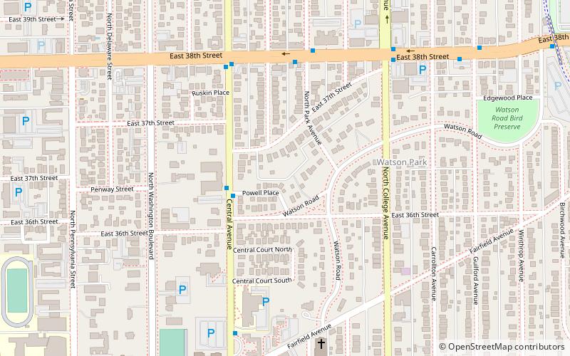
Map

Facts and practical information
The Central Court Historic District is a historic district and neighborhood of the city of Indianapolis in northern Center Township, Marion County, Indiana, United States. Built around Central Court near the intersection of 36th Street and Central Avenue, the neighborhood consists of seventy-five buildings over an area of 7.6 acres. ()
Coordinates: 39°49'20"N, 86°8'53"W
Address
North Side (Mapleton - Fall Creek)Indianapolis
ContactAdd
Social media
Add
Day trips
Central Court Historic District – popular in the area (distance from the attraction)
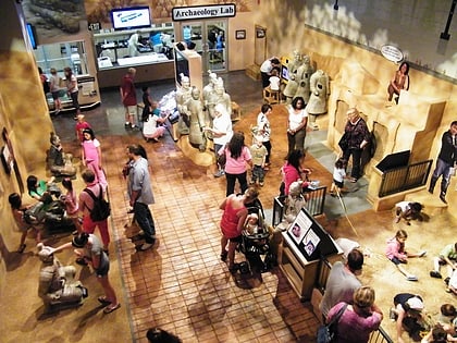
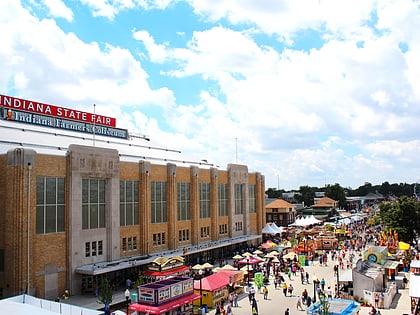
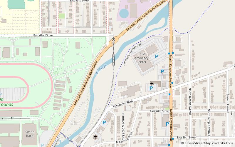
Nearby attractions include: The Children's Museum of Indianapolis, Indiana Farmers Coliseum, Melody Inn, Broad Ripple Park Carousel.
Frequently Asked Questions (FAQ)
Which popular attractions are close to Central Court Historic District?
Nearby attractions include Watson Park, Indianapolis (5 min walk), Beth-El Zedeck Temple, Indianapolis (9 min walk), Mapleton-Fall Creek, Indianapolis (11 min walk), Shortridge–Meridian Street Apartments Historic District, Indianapolis (12 min walk).

