Fall Creek Trail, Indianapolis

Map
Facts and practical information
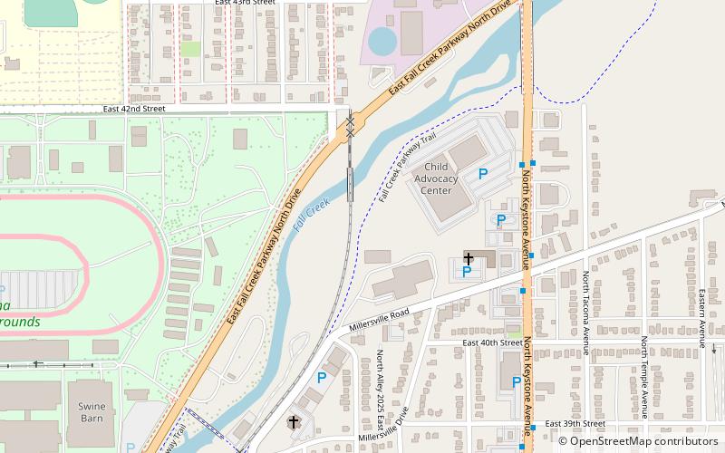
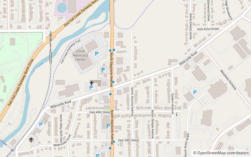
The Fall Creek Trail is a shared use path within the Indianapolis Parks system. It runs from the 79th Street, in the north east corner of city, to downtown Indianapolis, Indiana, following the course of Fall Creek. It is nearly 7 miles long and connects with the Monon Trail just south of Fall Creek Parkway in Midtown Indianapolis. There are multiple trailheads along the trail, as well as three canoe slipways. ()
Elevation: 715 ft a.s.l.Coordinates: 39°49'50"N, 86°7'32"W
Address
MeadowsIndianapolis
ContactAdd
Social media
Add
Day trips
Fall Creek Trail – popular in the area (distance from the attraction)
Nearby attractions include: Indiana Farmers Coliseum, Masjid Al Mu'mineen, Beth-El Zedeck Temple, Oliver Johnson's Woods Historic District.
Frequently Asked Questions (FAQ)
Which popular attractions are close to Fall Creek Trail?
Nearby attractions include Masjid Al Mu'mineen, Indianapolis (7 min walk), Indiana Farmers Coliseum, Indianapolis (14 min walk), Indiana School for the Deaf, Indianapolis (19 min walk), Marcy Village Apartments, Indianapolis (19 min walk).
How to get to Fall Creek Trail by public transport?
The nearest stations to Fall Creek Trail:
Bus
Bus
- College Avenue & 52nd Street • Lines: 90 (39 min walk)


