Blumenauer Bridge, Portland
Map

Map

Facts and practical information
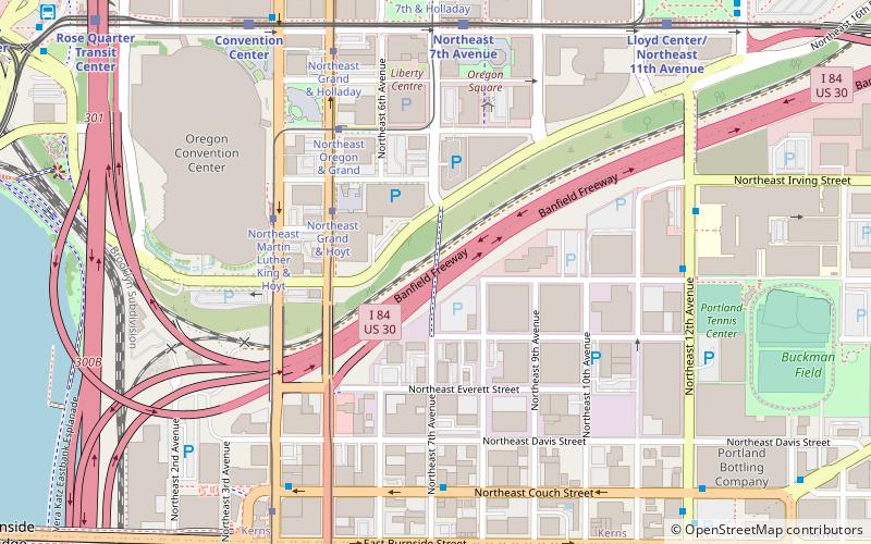
The Blumenauer Bridge, previously known as Sullivan's Crossing, is a bicycle and pedestrian bridge under construction in Portland, Oregon. United States. The $13 million project will span Interstate 84 and will connect the Lloyd District with Kerns in inner northeast Portland. The bridge was originally slated to open in December 2020, but its projected opening was later postponed to the following spring and subsequently to the summer of 2022. ()
Coordinates: 45°31'36"N, 122°39'31"W
Address
Lloyd DistrictPortland
ContactAdd
Social media
Add
Day trips
Blumenauer Bridge – popular in the area (distance from the attraction)
Nearby attractions include: Holocene, Lloyd Center, Moda Center, Steel Bridge.
Frequently Asked Questions (FAQ)
Which popular attractions are close to Blumenauer Bridge?
Nearby attractions include Portland State Office Building, Portland (4 min walk), Stark's Vacuum Museum, Portland (6 min walk), Oregon Convention Center, Portland (7 min walk), Bossanova Ballroom, Portland (8 min walk).
How to get to Blumenauer Bridge by public transport?
The nearest stations to Blumenauer Bridge:
Tram
Bus
Light rail
Train
Tram
- Northeast Grand & Hoyt • Lines: B (3 min walk)
- Northeast Martin Luther King & Hoyt • Lines: A (5 min walk)
Bus
- Northeast Couch & 7th • Lines: 12, 19, 20 (6 min walk)
- Northeast 12th & Glisan • Lines: 70 (7 min walk)
Light rail
- Northeast 7th Avenue • Lines: Blue, Green, Red (7 min walk)
- Convention Center • Lines: Blue, Green, Red (8 min walk)
Train
- Portland Union Station (24 min walk)


