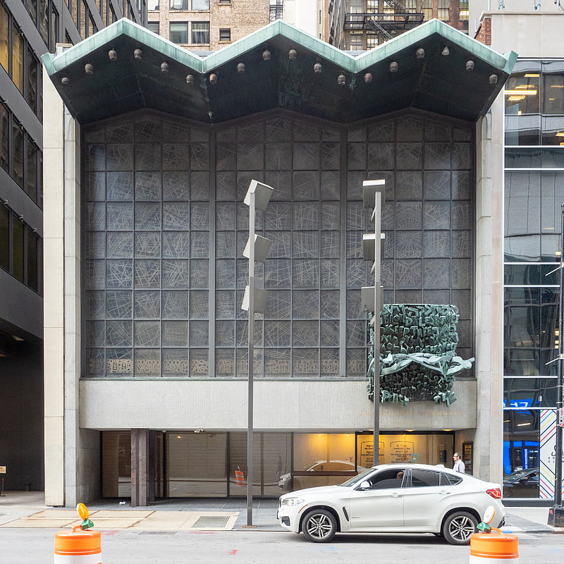
Wells Street, Chicago

Gallery (2)
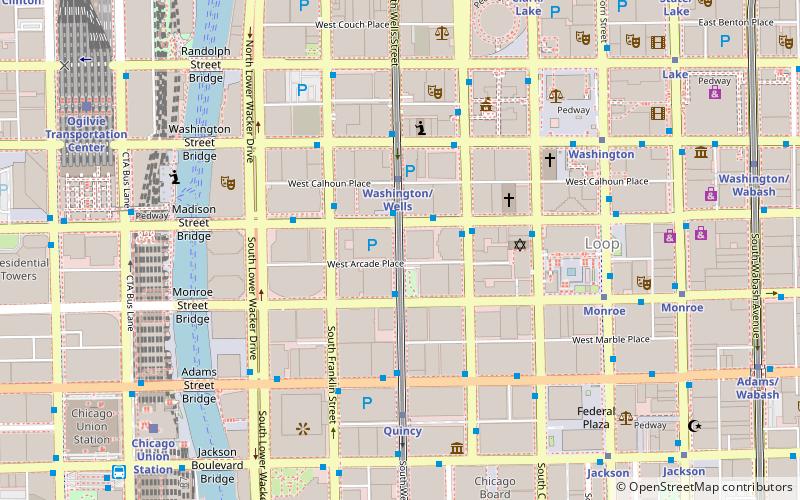
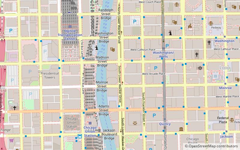
Map
Map
Gallery
Facts and practical information
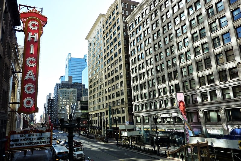
Wells Street is a major north–south street in Chicago. It is officially designated as 200 West, and is named in honor of William Wells, a United States Army Captain who died in the Battle of Fort Dearborn. Between 1870 and 1912, it was named 5th Avenue so as not to tarnish the name of Wells during a period when the street had a bad reputation. ()
Coordinates: 41°52'53"N, 87°38'2"W
Address
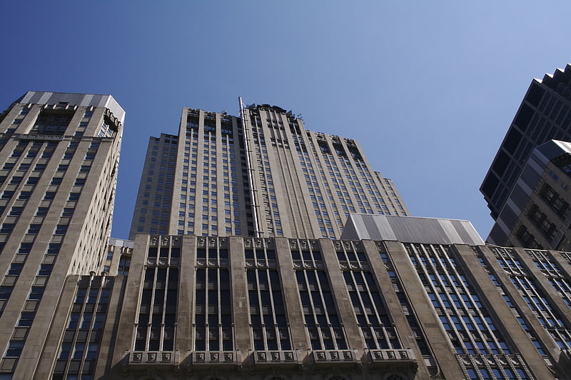
Downtown (The Loop)Chicago
ContactAdd
Social media
Add
Getting there by public transportation
Public transportation stops near this location
- Metro
- Bus
- Train
 Metro
Metro
- Calculate routeWells & Madison 2 min walk
- Calculate routeMadison & LaSalle 2 min walk
- Calculate routeLaSalle & Madison SB 2 min walk
- Calculate routeWashington/Wells 2 min walk
- Calculate routeQuincy 5 min walk
- Calculate routeWashington 7 min walk
- Calculate routeMonroe 7 min walk
- Calculate routeChicago Union Station 9 min walk
- Calculate routeOgilvie Transportation Center 10 min walk
- Calculate routeLaSalle Street Station 12 min walk
- Calculate routeMillennium Station 15 min walk
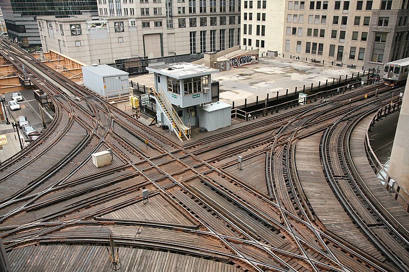
Maps Rail "L"
Rail "L"Day trips


Frequently Asked Questions (FAQ)
Which popular attractions are close to Wells Street?
Nearby attractions include 181 West Madison Street, Chicago (1 min walk), Miglin-Beitler Skyneedle, Chicago (1 min walk), One North LaSalle, Chicago (3 min walk), Tacoma Building, Chicago (3 min walk).
How to get to Wells Street by public transport?
The nearest stations to Wells Street:
Bus
Metro
Train
Bus
- Wells & Madison • Lines: 37 (2 min walk)
- Madison & LaSalle • Lines: 124, 157, 19, 20, 56, 60, J14, (N) N20, (N) N60 (2 min walk)
Metro
- Washington/Wells • Lines: Brown, Orange, Pink, Purple (2 min walk)
- Quincy • Lines: Brown, Orange, Pink, Purple (5 min walk)
Train
- Chicago Union Station (9 min walk)
- Ogilvie Transportation Center (10 min walk)