Hudson County Park System, North Bergen
Map
Facts and practical information
The Hudson County Park System owns and operates several county parks in Hudson County, New Jersey. It has its roots in the City Beautiful movement around the turn of the twentieth century. The system comprises eight parks comprising 716.52 acres. Additionally, the county owns acreage in preservation areas in the New Jersey Meadowlands ()
Elevation: 128 ft a.s.l.Coordinates: 40°47'58"N, 73°59'46"W
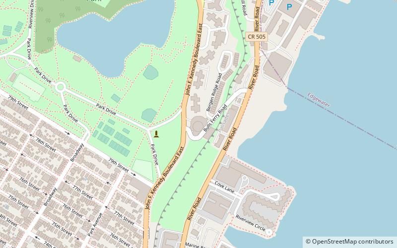
Address
Bulls FerryNorth Bergen
ContactAdd
Social media
Add
Getting there by public transportation
Public transportation stops near this location
- Metro
- Bus
 Metro
Metro
- Calculate routeBergenline Avenue at JFK Boulevard 19 min walk
- Calculate route79th St / Riverside Drive 32 min walk
- Calculate route86th St / Broadway 33 min walk
- Calculate routeWest 86th Street & Broadway 33 min walk
- Calculate route86th Street 33 min walk
- Calculate route79th Street 35 min walk
Day trips


Frequently Asked Questions (FAQ)
Which popular attractions are close to Hudson County Park System?
Nearby attractions include Stonehenge Building, North Bergen (1 min walk), Bulls Ferry, Jersey City (11 min walk), Woodcliff, North Bergen (11 min walk), Racetrack Section, North Bergen (17 min walk).
How to get to Hudson County Park System by public transport?
The nearest stations to Hudson County Park System:
Bus
Metro
Bus
- Bergenline Avenue at JFK Boulevard • Lines: 22, 88 (19 min walk)
- 79th St / Riverside Drive • Lines: M79 Sbs (32 min walk)
Metro
- 86th Street • Lines: 1, 2 (33 min walk)
- 79th Street • Lines: 1, 2 (35 min walk)