Castle Hill Baptist Church, Warwick
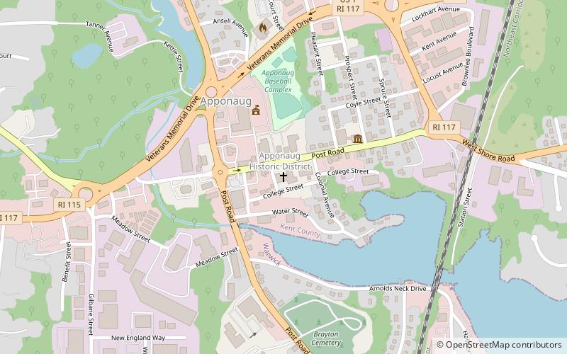
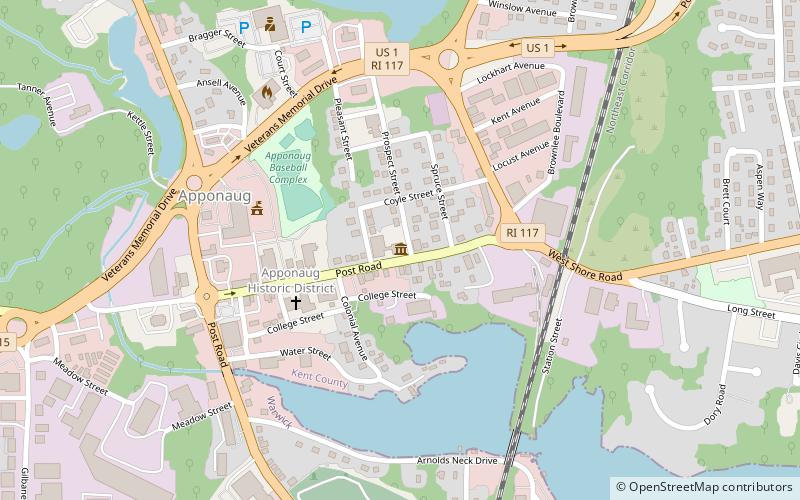
Map
Facts and practical information
Castle Hill Baptist Church in the town of Warwick in Warwickshire, England is one of the oldest Baptist churches in the world. It was founded in the 17th century when non-conformist churches were undergoing persecution in England, although Castle Hill itself escaped much persecution due to the protection offered by Lord Brooke of Warwick Castle. ()
Coordinates: 41°41'55"N, 71°27'29"W
Address
ApponaugWarwick
ContactAdd
Social media
Add
Getting there by public transportation
Public transportation stops near this location
- Bus
 Bus
Bus
- Calculate routeRoute 117 Park and Ride 21 min walk
Day trips


Frequently Asked Questions (FAQ)
Which popular attractions are close to Castle Hill Baptist Church?
Nearby attractions include Warwick Civic Center Historic District, Warwick (2 min walk), Warwick Center for the Arts, Warwick (4 min walk), Apponaug Harbor Marina, Warwick (19 min walk).
How to get to Castle Hill Baptist Church by public transport?
The nearest stations to Castle Hill Baptist Church:
Bus
Bus
- Route 117 Park and Ride • Lines: 12x (21 min walk)