Robert Ralston School, Philadelphia
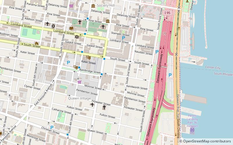
Map

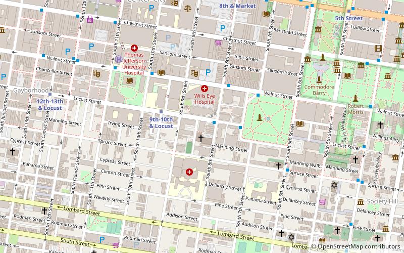
Map

Facts and practical information
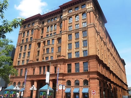
Robert Ralston School is a historic school building located in the Queen Village neighborhood of Philadelphia, Pennsylvania. It was built in 1869, and is a 2+1⁄2-story, four-bay, brick building with a stucco foundation in the Gothic Revival-style. It has a later addition in an industrial style. It features a pedimented front gable, a molded wood cornice, and an ocular vent opening. It was named after merchant and philanthropist Robert Ralston. ()
Coordinates: 39°56'26"N, 75°8'48"W
Address
Center City (Queen Village)Philadelphia
ContactAdd
Social media
Add
Day trips
Robert Ralston School – popular in the area (distance from the attraction)
Nearby attractions include: Philadelphia Korean War Memorial, Theatre of Living Arts, Musical Fund Hall, Moshulu.
Frequently Asked Questions (FAQ)
Which popular attractions are close to Robert Ralston School?
Nearby attractions include South Front Street Historic District, Philadelphia (3 min walk), Theatre of Living Arts, Philadelphia (4 min walk), Fabric Row, Philadelphia (4 min walk), Queen Village, Philadelphia (5 min walk).
How to get to Robert Ralston School by public transport?
The nearest stations to Robert Ralston School:
Bus
Metro
Light rail
Train
Tram
Bus
- Spruce St & 6th St • Lines: 12 (11 min walk)
- Washington Sq & Locust St • Lines: 12, 47 (15 min walk)
Metro
- 2nd Street • Lines: Mfl (17 min walk)
- 5th Street • Lines: Mfl (18 min walk)
Light rail
- Entertainment Center • Lines: River Line (25 min walk)
- Adventure Aquarium • Lines: River Line (26 min walk)
Train
- Jefferson Station (27 min walk)
- Suburban Station (37 min walk)
Tram
- 13th Street • Lines: 10, 11, 13, 34, 36 (30 min walk)
- 15th Street • Lines: 10, 11, 13, 34, 36 (33 min walk)

 SEPTA Regional Rail


