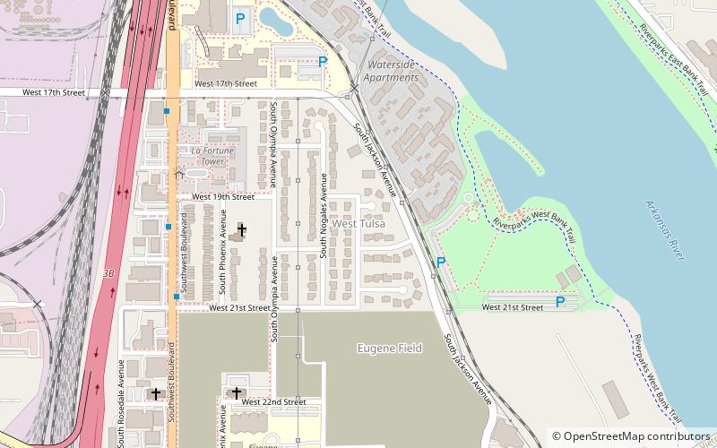
West Tulsa, Tulsa
Map
Facts and practical information
West Tulsa is a local name given to an area situated in the west section of the city of Tulsa, Oklahoma which includes various communities to the west and south of the Arkansas River. As development between Sand Springs and Tulsa continued in the late 19th through the early 20th centuries, the name West Tulsa was used to refer to this area west of Tulsa and north of the Arkansas River, but many people in Tulsa and those knowing of the history of Tulsa do not include this area near Sand Springs when referring to West Tulsa. ()
Coordinates: 36°8'6"N, 96°0'9"W
Address
Westside (Riverview Park)Tulsa
ContactAdd
Social media
Add
Getting there by public transportation
Public transportation stops near this location
- Bus
 Bus
Bus
- Calculate routeDenver Avenue Station 33 min walk
Day trips


Frequently Asked Questions (FAQ)
Which popular attractions are close to West Tulsa?
Nearby attractions include McBirney Mansion, Tulsa (14 min walk), 11th Street Bridge, Tulsa (14 min walk), Buena Vista Park Historic District, Tulsa (17 min walk), University Club Tower, Tulsa (17 min walk).
How to get to West Tulsa by public transport?
The nearest stations to West Tulsa:
Bus
Bus
- Denver Avenue Station • Lines: 110, 114, 117, 130, 140, 150, 201, 700, 804, 805 (33 min walk)