Potomac Heights, Washington D.C.
Map
Facts and practical information
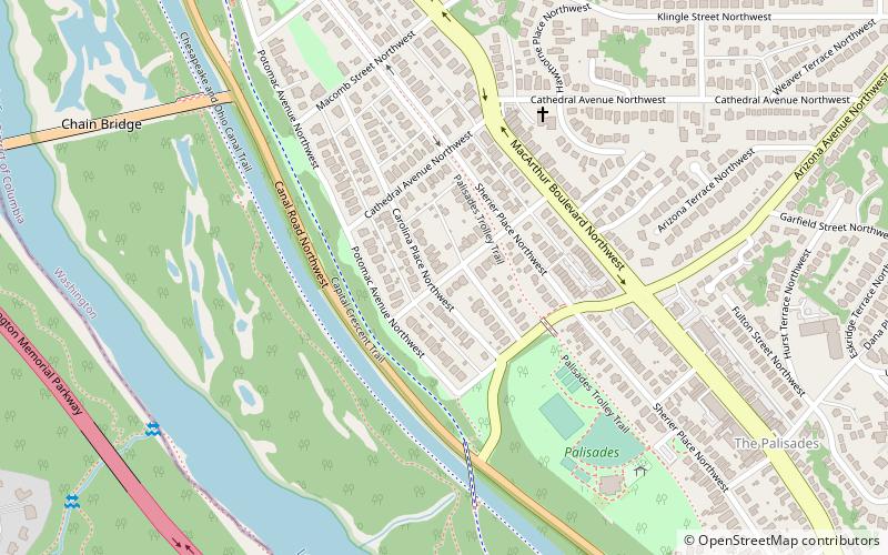
Potomac Heights is a neighborhood in Northwest Washington, D.C. overlooking the Potomac River from MacArthur Boulevard westward. Potomac Heights is the part of the Palisades bounded to the north by Loughboro Road and to the south by Chain Bridge and Arizona Avenue NW. It is part of Advisory Neighborhood Commission 3D in Ward 3, the far northwest corner of the Northwest Quadrant just north of Georgetown. ()
Coordinates: 38°55'39"N, 77°6'28"W
Address
Northwest Washington (Foxhall-Palisades)Washington D.C.
ContactAdd
Social media
Add
Getting there by public transportation
Public transportation stops near this location
- Bus
 Bus
Bus
- Calculate routeMilitary Road at 38th St N 21 min walk
Day trips


Frequently Asked Questions (FAQ)
Which popular attractions are close to Potomac Heights?
Nearby attractions include The Palisades, Washington D.C. (8 min walk), Dr. Franklin E. Kameny House, Washington D.C. (9 min walk), Chain Bridge, Washington D.C. (10 min walk), Battery Kemble Park, Washington D.C. (18 min walk).
How to get to Potomac Heights by public transport?
The nearest stations to Potomac Heights:
Bus
Bus
- Military Road at 38th St N • Lines: 53A, 53B (21 min walk)