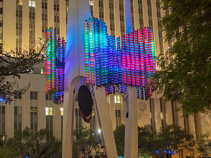
Cesar Chavez Avenue, Los Angeles
Facts and practical information
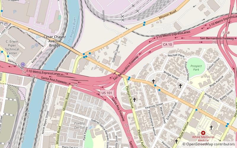
Cesar Chavez Avenue is a major east–west thoroughfare in Downtown Los Angeles, the Eastside and East Los Angeles, measuring 6.19 miles in length. Named in honor of union leader César Chávez, the street was formed in 1994 from Sunset Boulevard between Figueroa and Main streets, a new portion of roadway, Macy Street between Main Street and Mission Road, and Brooklyn Avenue through Boyle Heights and East Los Angeles into Monterey Park. Much of the street is double-signed with its former names. ()
Eastside Los Angeles (Boyle Heights)Los Angeles
Cesar Chavez Avenue – popular in the area (distance from the attraction)
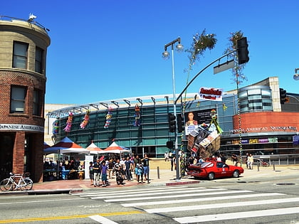
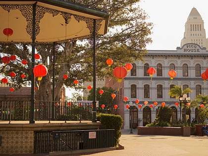
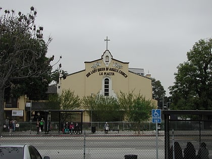
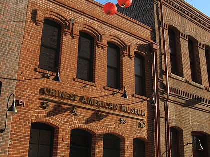
Nearby attractions include: Japanese American National Museum, El Pueblo de Los Ángeles Historical Monument, La Iglesia de Nuestra Señora la Reina de los Ángeles, Chinese American Museum.
Frequently Asked Questions (FAQ)
Which popular attractions are close to Cesar Chavez Avenue?
How to get to Cesar Chavez Avenue by public transport?
Light rail
- Pico/Aliso • Lines: L (11 min walk)
- Mariachi Plaza • Lines: L (12 min walk)
Bus
- Patsaouras Transit Plaza • Lines: J (15 min walk)
- Cesar E Chavez & Vignes • Lines: 70, 78 (15 min walk)
Train
- Los Angeles Union Station (17 min walk)
Metro
- Union Station • Lines: B, D (18 min walk)

 Metro & Regional Rail