International Boundary Marker No. 1, El Paso
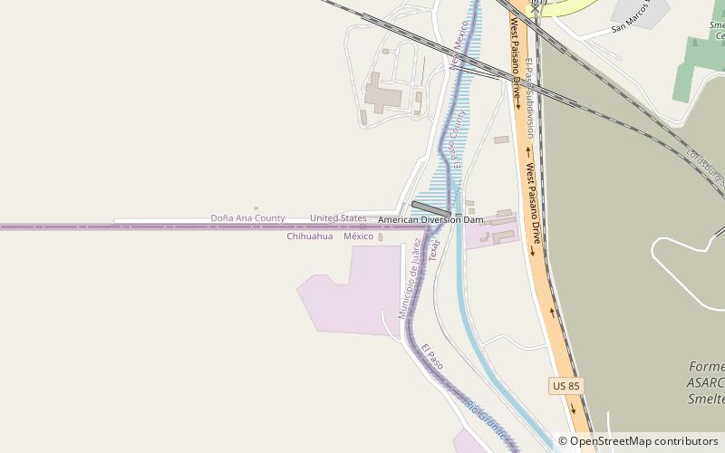
Map
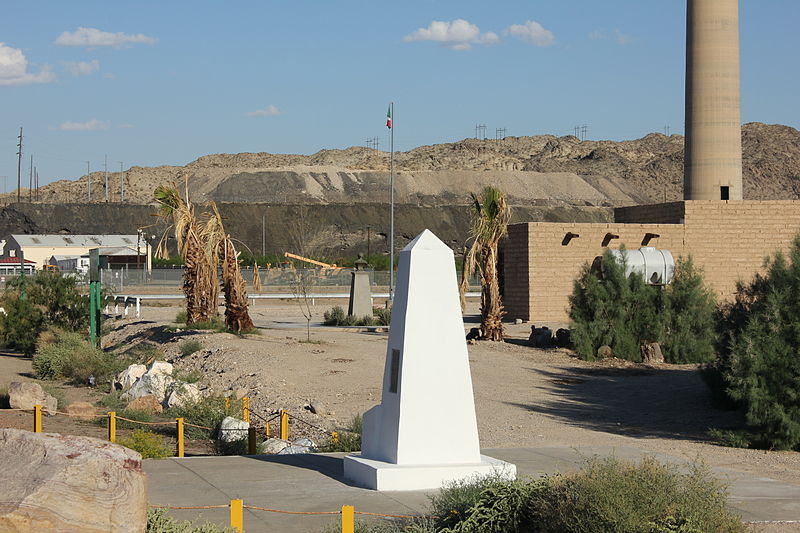
Gallery
Facts and practical information
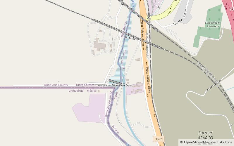
International Boundary Marker No. 1, U.S. and Mexico is a monument on the Mexico–U.S. border, on the west bank of the Rio Grande River near El Paso, Texas. It was listed on the National Register of Historic Places in 1974 and designated as a National Historic Civil Engineering Landmark by the American Society of Civil Engineers in 1976. ()
Coordinates: 31°47'2"N, 106°31'47"W
Address
El Paso
ContactAdd
Social media
Add
Day trips
International Boundary Marker No. 1 – popular in the area (distance from the attraction)
Nearby attractions include: Western Playland, Centennial Museum and Chihuahuan Desert Gardens, Sun Bowl Stadium, Don Haskins Center.
Frequently Asked Questions (FAQ)
How to get to International Boundary Marker No. 1 by public transport?
The nearest stations to International Boundary Marker No. 1:
Bus
Bus
- Executive • Lines: Mesa Brio (36 min walk)

