Playground Seventy-Five, New York City
Map
Facts and practical information
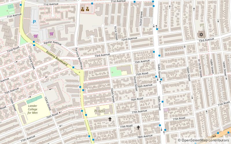
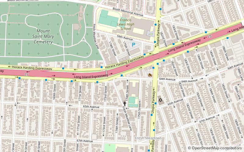
Playground Seventy Five is a public park located on 160th Street and 75th Avenue in the Hillcrest neighborhood of Queens, New York. It was acquired by the New York City government in 1929 as part of land condemnations for the construction of Public School 154. The undeveloped section of the block was reserved as a schoolyard and developed as a playground in 1954. ()
Elevation: 69 ft a.s.l.Coordinates: 40°43'35"N, 73°48'30"W
Address
Northeastern Queens (Kew Gardens Hills)New York City
ContactAdd
Social media
Add
Getting there by public transportation
Public transportation stops near this location
- Metro
- Bus
 Metro
Metro
- Calculate routeMain Street & 73rd Avenue 17 min walk
- Calculate routeMain Street & 78th Road 19 min walk
- Calculate route169th Street 35 min walk
Maps SubwayMaps
 Manhattan Buses
SubwayMapsManhattan BusesDay trips


Frequently Asked Questions (FAQ)
Which popular attractions are close to Playground Seventy-Five?
Nearby attractions include Hillcrest Veterans Square, New York City (10 min walk), Pomonok, New York City (12 min walk), Vleigh Playground, New York City (13 min walk), Kew Gardens Hills, New York City (17 min walk).
How to get to Playground Seventy-Five by public transport?
The nearest stations to Playground Seventy-Five:
Bus
Metro
Bus
- Main Street & 73rd Avenue • Lines: Q44 Sbs (17 min walk)
- Main Street & 78th Road • Lines: Q20B (19 min walk)
Metro
- 169th Street • Lines: <F>, F (35 min walk)