Vleigh Playground, New York City
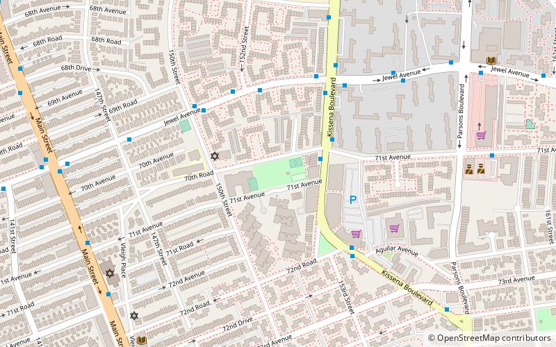
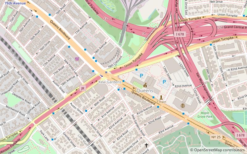
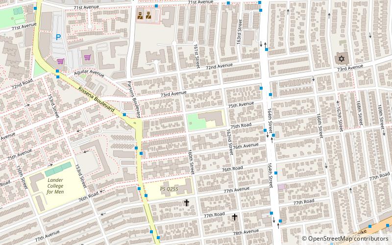
Map
Facts and practical information
Vleigh Playground is a 2.243-acre park in Kew Gardens Hills, Queens, New York City. It takes its name from Head of the Vleigh Road, a colonial period path that ran along the northern boundary of the playground site. This path is presently followed by Vleigh Place and 70th Road. This road connected the town of Flushing to Brooklyn during colonial times, allowing travelers to circumvent Flushing Meadows, then an impassible swamp. ()
Elevation: 75 ft a.s.l.Coordinates: 40°43'47"N, 73°48'60"W
Day trips
Vleigh Playground – popular in the area (distance from the attraction)
Nearby attractions include: Captain Tilly Park, Queens Borough Hall, Kissena Park, Judge Moses Weinstein Playground.
Frequently Asked Questions (FAQ)
Which popular attractions are close to Vleigh Playground?
Nearby attractions include Kew Gardens Hills, New York City (5 min walk), Yeshiva Kesser Torah, New York City (9 min walk), Yeshivas Ohr HaChaim, New York City (9 min walk), Pomonok, New York City (12 min walk).
How to get to Vleigh Playground by public transport?
The nearest stations to Vleigh Playground:
Bus
Metro
Bus
- Main Street & 73rd Avenue • Lines: Q44 Sbs (11 min walk)
- Horace Harding Expressway & Parsons Boulevard • Lines: Q88 (18 min walk)
Metro
- Kew Gardens–Union Turnpike • Lines: <F>, E, F (34 min walk)
- 75th Avenue • Lines: <F>, E, F (35 min walk)
 Subway
 Manhattan Buses


