Walter J. Wetzel Triangle, New York City

Map
Facts and practical information
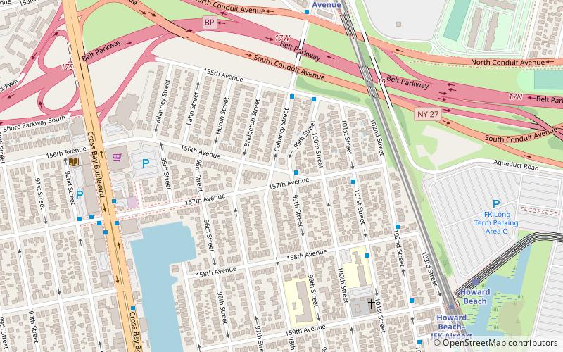
Walter J. Wetzel Triangle is small park bound by Cohancy Street, 156th Avenue, 99th Street, and 157th Avenue, in the Howard Beach neighborhood of Queens, New York City. ()
Coordinates: 40°39'48"N, 73°50'8"W
Address
Southwestern Queens (Howard Beach)New York City
ContactAdd
Social media
Add
Day trips
Walter J. Wetzel Triangle – popular in the area (distance from the attraction)
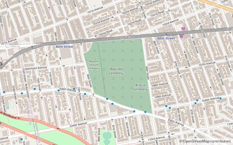
Nearby attractions include: Aqueduct Racetrack, Bayside Cemetery, Spring Creek Park, Ozone Park.
Frequently Asked Questions (FAQ)
Which popular attractions are close to Walter J. Wetzel Triangle?
Nearby attractions include Ozone Park, New York City (13 min walk), Aqueduct Racetrack, New York City (18 min walk).
How to get to Walter J. Wetzel Triangle by public transport?
The nearest stations to Walter J. Wetzel Triangle:
Metro
Light rail
Bus
Metro
- Aqueduct–North Conduit Avenue • Lines: A (9 min walk)
- Howard Beach–JFK Airport • Lines: A (9 min walk)
Light rail
- Howard Beach • Lines: Jfk (9 min walk)
- Lefferts Boulevard • Lines: Jfk (15 min walk)
Bus
- Pitkin Avenue & 85th Street • Lines: Q7 (31 min walk)
 Subway
 Manhattan Buses


