Three Way Peak, Mount Rainier National Park
Map

Gallery
Facts and practical information
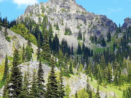
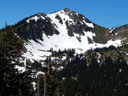
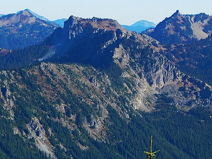
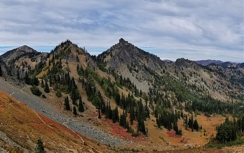
Three Way Peak is a 6,796 feet summit located on the eastern border of Mount Rainier National Park. It is also on the shared border of Pierce County and Yakima County in Washington state. Three Way Peak is situated 0.42 mi north of Cupalo Rock on the crest of the Cascade Range. Its nearest higher peak is Crystal Mountain, 0.56 mi to the northwest. Chinook Peak is 0.8 mile to the southwest. Precipitation runoff from Three Way Peak drains into tributaries of the White River and Naches River. ()
Coordinates: 46°54'32"N, 121°29'47"W
Address
Mount Rainier National Park
ContactAdd
Social media
Add
Day trips
Three Way Peak – popular in the area (distance from the attraction)
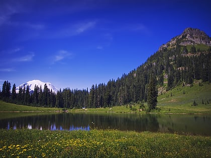
Nearby attractions include: Tipsoo Lake, Dege Peak, Deadwood Peak, Crystal Mountain.
