New Ohio Theatre, New York City
Map
Facts and practical information
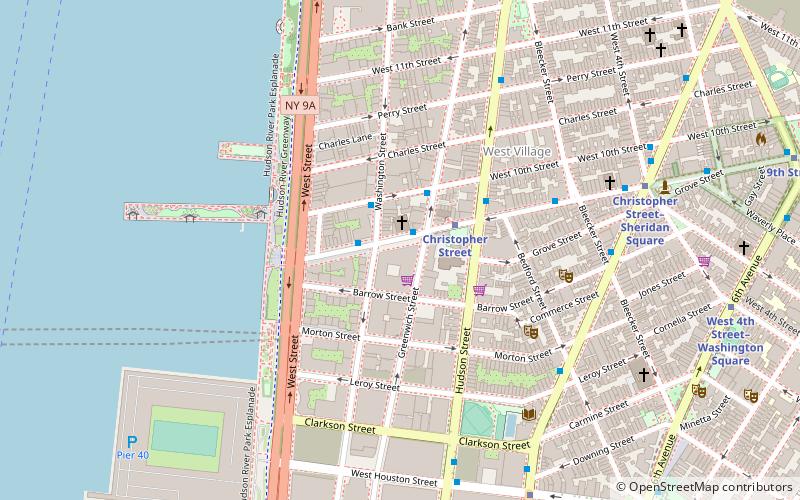
The New Ohio Theatre is a performance venue in the West Village of New York City. Located at 154 Christopher Street, the theater was established by Robert Lyons. After losing the lease on his Soho space for the Ohio Theater in 2010, Lyons moved to the Archive building in the West Village. It is an Off-Off-Broadway theater. ()
Coordinates: 40°43'57"N, 74°0'29"W
Address
Downtown Manhattan (West Village)New York City
ContactAdd
Social media
Add
Getting there by public transportation
Public transportation stops near this location
- Metro
- Bus
- Light rail
- Train
- Ferry
 Metro
Metro
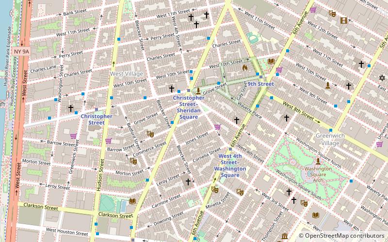
- Calculate routeChristopher Street 3 min walk
- Calculate routeChristopher Street–Sheridan Square 8 min walk
- Calculate routeHouston Street 9 min walk
- Calculate routeBethune Street & Greenwich Street 9 min walk
- Calculate routeGreenwich St/ Horatio St 12 min walk
- Calculate routeWest 14th Street & 9th Avenue 16 min walk
- Calculate route10th Avenue & West 15th Street 18 min walk
- Calculate routeHoboken NJ Transit Terminal 25 min walk
- Calculate routeHoboken Terminal 27 min walk
- Calculate routeHoboken Terminal 29 min walk
Maps SubwayMaps
 Manhattan Buses
SubwayMapsManhattan BusesDay trips


Frequently Asked Questions (FAQ)
Which popular attractions are close to New Ohio Theatre?
Nearby attractions include Church of St. Luke in the Fields, New York City (2 min walk), Gavin Brown's Enterprise, New York City (3 min walk), Maccarone, New York City (4 min walk), Greenspon Gallery, New York City (4 min walk).
How to get to New Ohio Theatre by public transport?
The nearest stations to New Ohio Theatre:
Metro
Bus
Ferry
Train
Light rail
Metro
- Christopher Street • Lines: Hob–33, Jsq–33, JSQ–33 via HOB (3 min walk)
- Christopher Street–Sheridan Square • Lines: 1, 2 (8 min walk)
Bus
- Bethune Street & Greenwich Street • Lines: M11 (9 min walk)
- Greenwich St/ Horatio St • Lines: M11 (12 min walk)
Ferry
- Hoboken NJ Transit Terminal (25 min walk)
Train
- Hoboken Terminal (27 min walk)
Light rail
- Hoboken Terminal • Lines: Hblr (29 min walk)