Hudson River Park, New York City
Map
Gallery
Facts and practical information
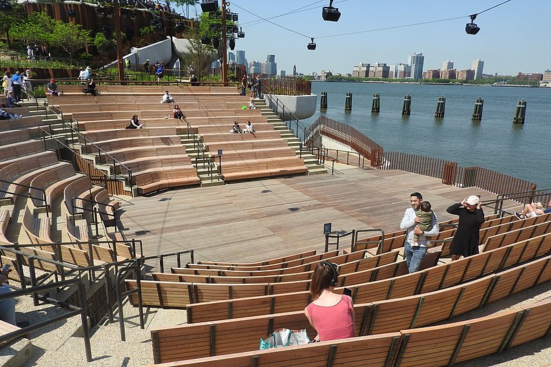
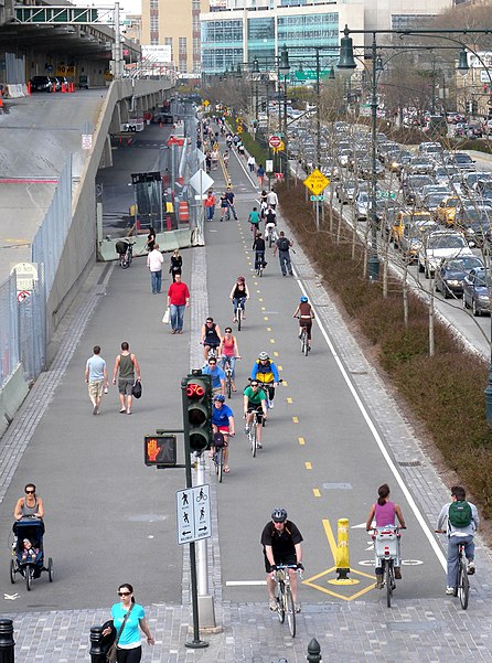
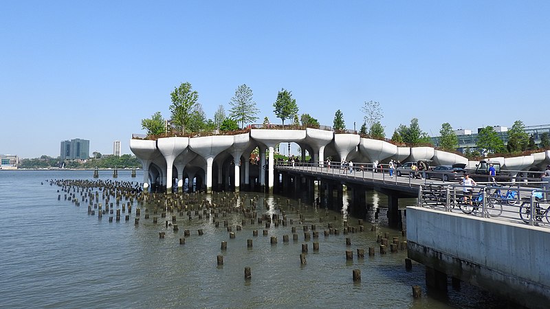
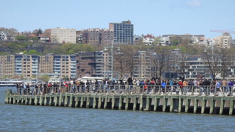
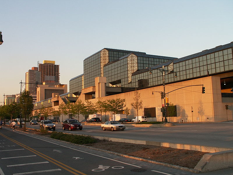
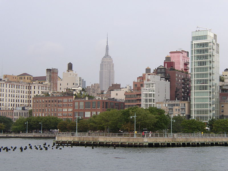
Hudson River Park is a waterside park on the North River that extends from 59th Street south to Battery Park in the New York City borough of Manhattan. The park, a component of the Manhattan Waterfront Greenway, stretches 4.5 miles and comprises 550 acres, making it the second-largest park in Manhattan after the 843-acre Central Park. ()
Day trips
Hudson River Park – popular in the area (distance from the attraction)
Nearby attractions include: Whitney Museum of American Art, Marie's Crisis, Congregation Beit Simchat Torah, Stonewall National Monument.
Frequently Asked Questions (FAQ)
Which popular attractions are close to Hudson River Park?
Nearby attractions include Pier 45, New York City (5 min walk), Congregation Beit Simchat Torah, New York City (5 min walk), USCGC Lilac, New York City (5 min walk), New Ohio Theatre, New York City (6 min walk).
How to get to Hudson River Park by public transport?
The nearest stations to Hudson River Park:
Bus
Metro
Ferry
Train
Light rail
Bus
- Bethune Street & Greenwich Street • Lines: M11 (7 min walk)
- Greenwich St/ Horatio St • Lines: M11 (9 min walk)
Metro
- Christopher Street • Lines: Hob–33, Jsq–33, JSQ–33 via HOB (7 min walk)
- Christopher Street–Sheridan Square • Lines: 1, 2 (11 min walk)
Ferry
- Hoboken NJ Transit Terminal (22 min walk)
Train
- Hoboken Terminal (23 min walk)
- Pennsylvania Station (36 min walk)
Light rail
- Hoboken Terminal • Lines: Hblr (25 min walk)


 Subway
 Manhattan Buses

