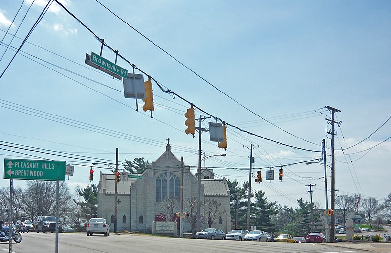
Brownsville Road, Pittsburgh

Gallery (2)
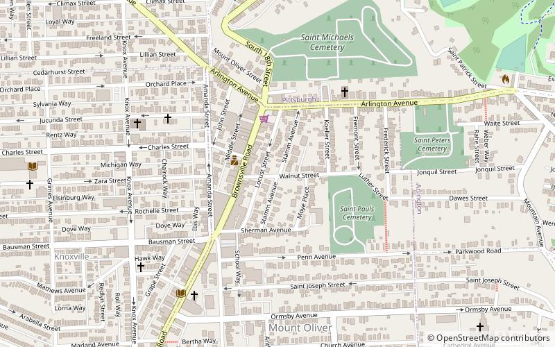
Map
Map
Gallery
Facts and practical information
Brownsville Road is a road between Pittsburgh, at Eighteenth Street and South Avenue in Allegheny County, Pennsylvania eastwards through Mount Oliver and generally highlands situated along or near the hilltops often overlooking the Monongahela River. It has had several names over its history, and was also known at the Red Stone Road and the period it was a Plank Road managed as a toll road, the Brownsville Plank Road, or the Brownsville Turnpike, or locally, as the area grew into a city, Southern Avenue. ()
Coordinates: 40°24'58"N, 79°59'10"W
Address
South Side (Mount Oliver)Pittsburgh
ContactAdd
Social media
Add
Getting there by public transportation
Public transportation stops near this location
- Bus
- Light rail
 Bus
Bus
- Calculate routeBon Air 27 min walk
- Calculate routeSouth Hills Junction 30 min walk
- Calculate routeDenise 34 min walk
- Calculate routeStation Square 36 min walk
- Calculate routeSouth Hills Junction 30 min walk
- Calculate routeEdgebrook 32 min walk
- Calculate routeStation Square 36 min walk
- Calculate routeSouth Busway at Station Square 37 min walk
Day trips


Frequently Asked Questions (FAQ)
Which popular attractions are close to Brownsville Road?
Nearby attractions include Knoxville, Pittsburgh (11 min walk), Former St. George Roman Catholic Church, Pittsburgh (13 min walk), Allentown, Pittsburgh (16 min walk), South Side Slopes, Pittsburgh (16 min walk).
How to get to Brownsville Road by public transport?
The nearest stations to Brownsville Road:
Light rail
Bus
Light rail
- Bon Air • Lines: Blue, Silver (27 min walk)
- South Hills Junction • Lines: Blue, Red, Silver (30 min walk)
Bus
- South Hills Junction • Lines: 40, 43 (30 min walk)
- Edgebrook (32 min walk)