Claremont Historic District, Arlington
Map

Map

Facts and practical information
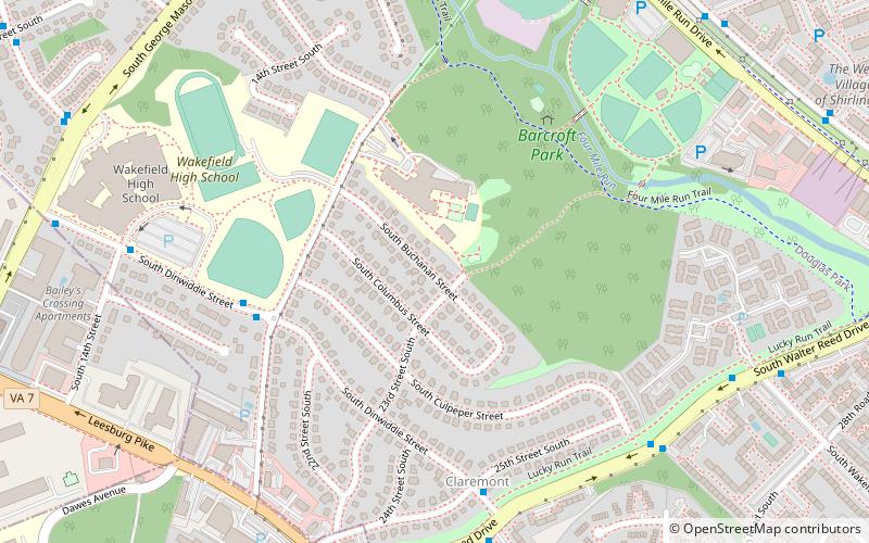
The Claremont Historic District is a national historic district located at Arlington County, Virginia. It contains 253 contributing buildings in a residential neighborhood in southwestern Arlington. The area was developed initially between 1946 and 1949, of two-story Colonial Revival style houses and 1 1/2-story Cape Cod style houses. In 1954, thirty-six Ranch-style houses were added. ()
Coordinates: 38°50'47"N, 77°6'20"W
Address
South Arlington (Claremond)Arlington
ContactAdd
Social media
Add
Day trips
Claremont Historic District – popular in the area (distance from the attraction)
Nearby attractions include: The Village at Shirlington, Cinema 'N' Drafthouse, Fort Ward, Four Mile Run Trail.
Frequently Asked Questions (FAQ)
Which popular attractions are close to Claremont Historic District?
Nearby attractions include Barcroft Park, Arlington (6 min walk), King Street, Alexandria (13 min walk), Columbia Forest Historic District, Arlington (14 min walk), Rachel M. Schlesinger Concert Hall and Arts Center, Alexandria (14 min walk).
How to get to Claremont Historic District by public transport?
The nearest stations to Claremont Historic District:
Bus
Bus
- S Dinwiddie St at S Chesterfield Rd • Lines: 75 (6 min walk)
- S Walter Reed Dr at S Wakefield St • Lines: 75 (9 min walk)


