King Street, Alexandria

Gallery (1)
Map

Map
Facts and practical information
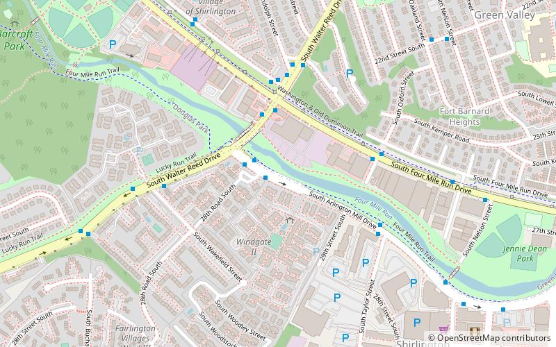
King Street is a major road in Alexandria, Virginia, United States and historic Old Town Alexandria. It extends westward from the Potomac River waterfront near the Torpedo Factory Art Center and nearby bustling tourist gift shops and restaurants, passing City Hall and the Alexandria General District Court. ()
Length: 5.1 miCoordinates: 38°50'42"N, 77°6'53"W
Address
Baileys CrossroadsAlexandria
ContactAdd
Social media
Add
Getting there by public transportation
Public transportation stops near this location
- Bus
 Bus
Bus
- Calculate routeS Dinwiddie St at S George Mason Dr 5 min walk
- Calculate routeBisdorf Dr & Bisdorf Bldg 8 min walk
- Calculate routeS Frederick Street at S George Mason Dr 8 min walk
Day trips


Frequently Asked Questions (FAQ)
Which popular attractions are close to King Street?
Nearby attractions include Northern Virginia Community College, Alexandria (9 min walk), Rachel M. Schlesinger Concert Hall and Arts Center, Alexandria (10 min walk), Virginia Heights Historic District, Arlington (10 min walk), Claremont Historic District, Arlington (13 min walk).
How to get to King Street by public transport?
The nearest stations to King Street:
Bus
Bus
- S Dinwiddie St at S George Mason Dr • Lines: 75 (5 min walk)
- Bisdorf Dr & Bisdorf Bldg • Lines: 25B, At6, At9 (8 min walk)