Bay Parkway, New York City
Map
Map

Facts and practical information
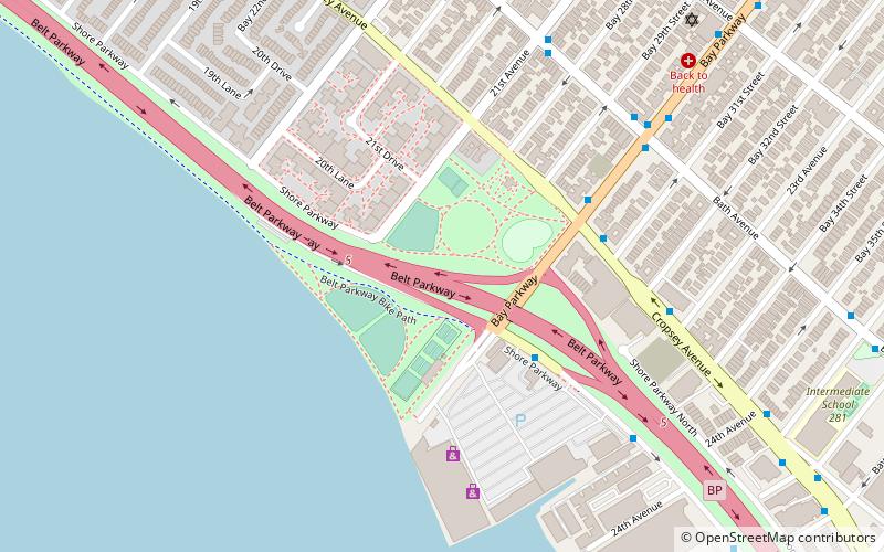
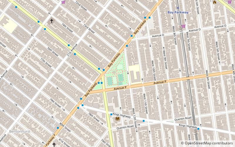
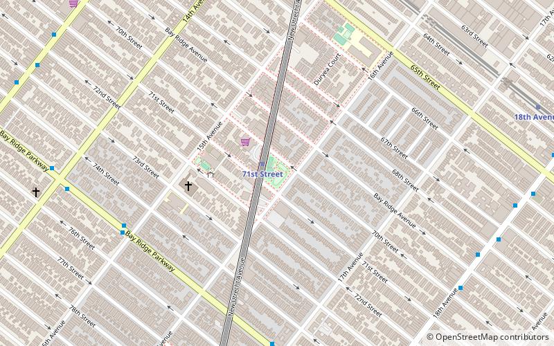
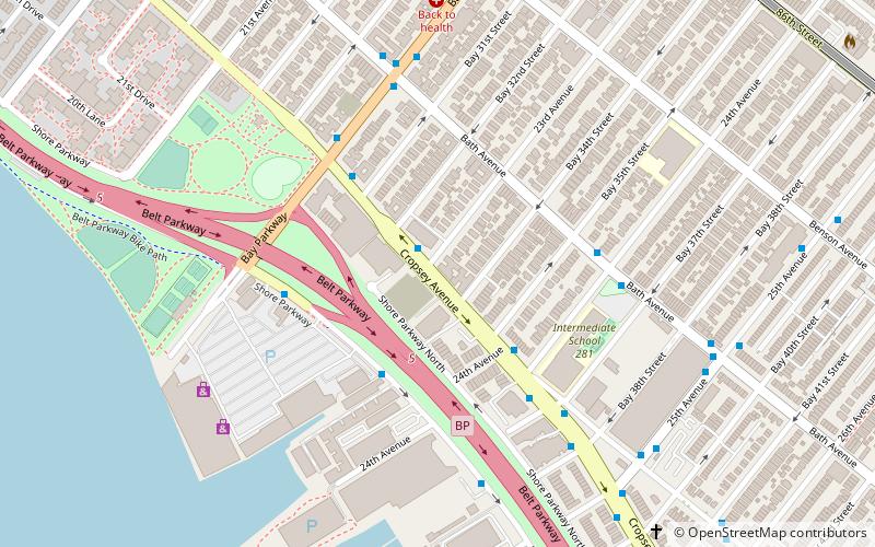
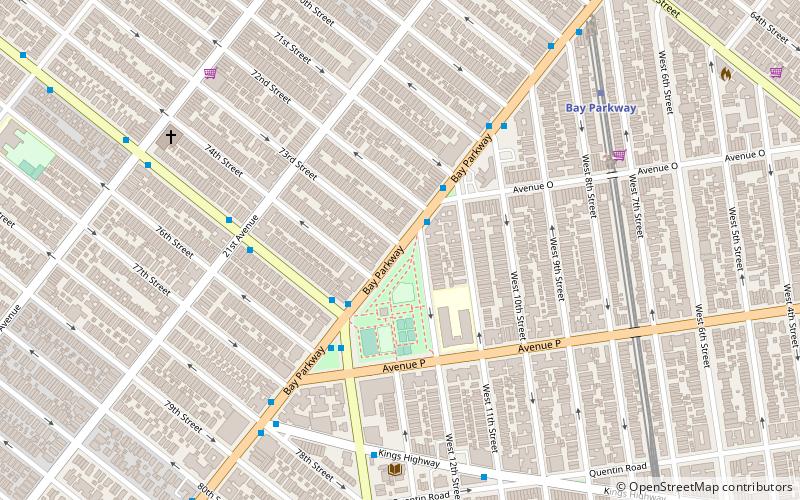
Bay Parkway is a 2.7-mile boulevard/parkway in the west portion of the New York City borough of Brooklyn. ()
Coordinates: 40°36'33"N, 73°59'10"W
Address
Southwestern Brooklyn (Bensonhurst)New York City
ContactAdd
Social media
Add
Day trips
Bay Parkway – popular in the area (distance from the attraction)
Nearby attractions include: New Utrecht Reformed Church, Bensonhurst Park, B'nai Yosef Synagogue, Seth Low Playground.
Frequently Asked Questions (FAQ)
Which popular attractions are close to Bay Parkway?
Nearby attractions include Seth Low Playground, Sea Gate (2 min walk), New Utrecht Reformed Church, New York City (20 min walk), Washington Cemetery, New York City (23 min walk), New Utrecht, New York City (23 min walk).
How to get to Bay Parkway by public transport?
The nearest stations to Bay Parkway:
Metro
Bus
Metro
- Bay Parkway • Lines: N (9 min walk)
- Kings Highway • Lines: N (13 min walk)
Bus
- 86th Street & West 8th Street • Lines: B1, B4 (31 min walk)

 Subway
 Manhattan Buses
