Overbrook Park, Philadelphia
Map

Map

Facts and practical information
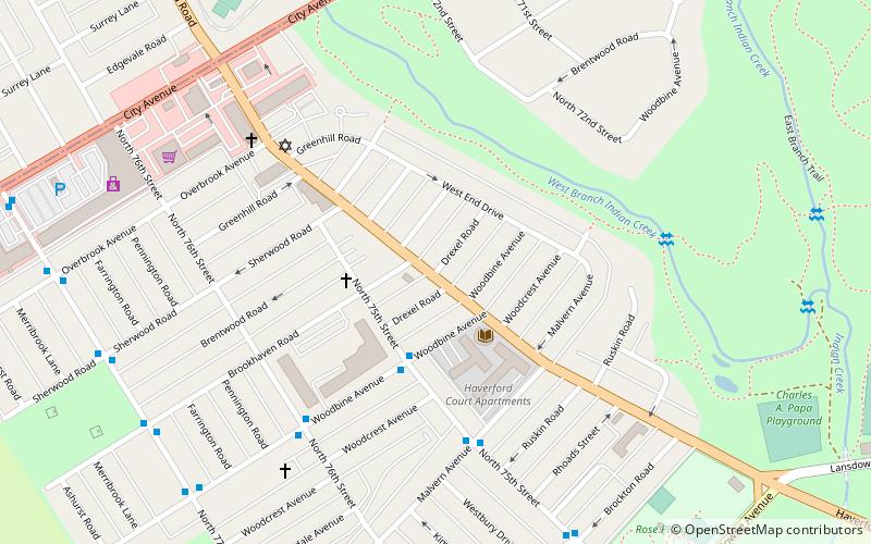
Overbrook Park is a neighborhood in the West Philadelphia section of Philadelphia, Pennsylvania, United States. It was founded in the 1940s on the site of a former farm known as Supio's farm, offering new housing for returning GIs and their families. Overbrook Park remains a stable, safe, African-American middle-class neighborhood. ()
Coordinates: 39°58'37"N, 75°15'54"W
Address
West Philadelphia (Overbrook)Philadelphia
ContactAdd
Social media
Add
Day trips
Overbrook Park – popular in the area (distance from the attraction)
Nearby attractions include: City Line Avenue Bridge, African Episcopal Church of St. Thomas, Bawa Muhaiyaddeen Fellowship, City of Conquerors Church.
Frequently Asked Questions (FAQ)
Which popular attractions are close to Overbrook Park?
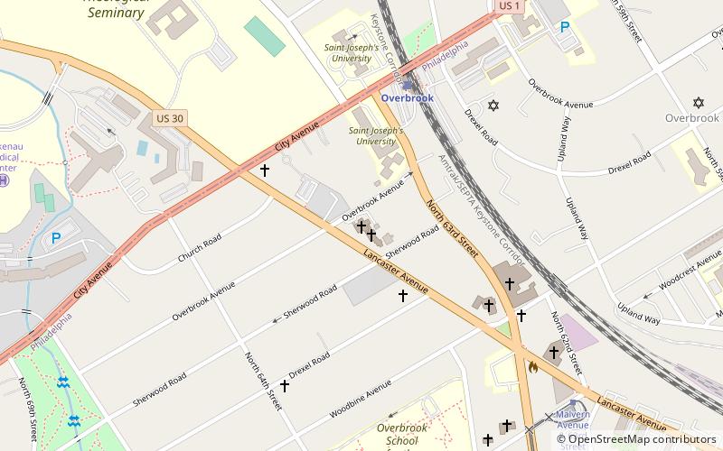
Nearby attractions include City Line Avenue Bridge, Philadelphia (17 min walk), Lewis C. Cassidy School, Philadelphia (20 min walk), Overbrook Farms, Philadelphia (23 min walk).
How to get to Overbrook Park by public transport?
The nearest stations to Overbrook Park:
Light rail
Tram
Bus
Metro
Train
Light rail
- Parkview • Lines: Nhsl (20 min walk)
- Township Line Road • Lines: Nhsl (23 min walk)
Tram
- 63rd Street & Jefferson Street • Lines: 10 (26 min walk)
Bus
- 69th Street Transportation Center North Terminal (27 min walk)
- 69th Street Transportation Center West Terminal (27 min walk)
Metro
- 69th Street Transportation Center • Lines: Mfl (27 min walk)
- Millbourne • Lines: Mfl (29 min walk)
Train
- Overbrook (31 min walk)

 SEPTA Regional Rail


