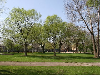
Ravenswood Manor Historic District, Chicago
Map
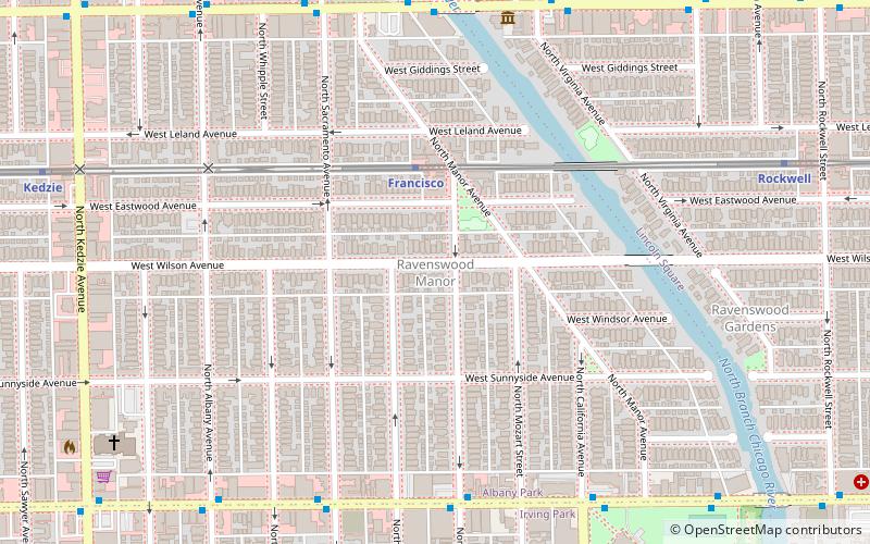
Map

Facts and practical information
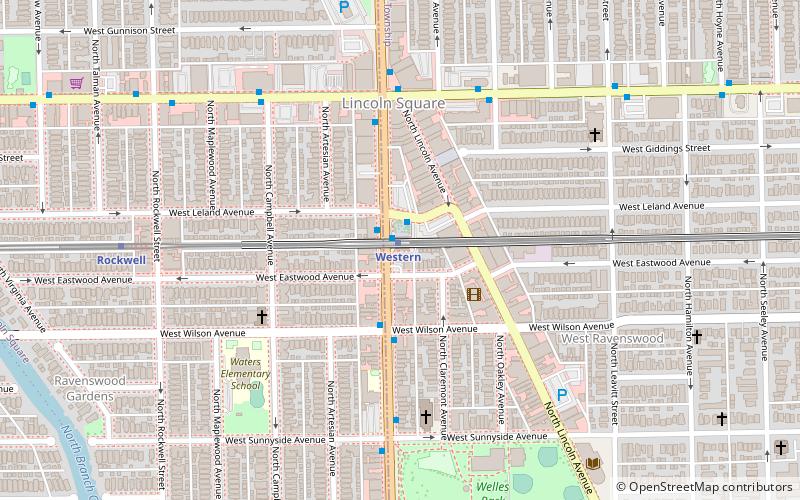
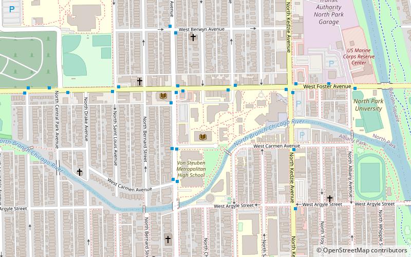
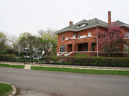
The Ravenswood Manor Historic District is a historic district in the Albany Park community area of North Side, Chicago, Illinois. It is bordered by the Chicago River on the East, and by the alley south of Lawrence Avenue on the North, Sacramento Avenue on the West, and the alley North of Montrose Avenue on the south. ()
Coordinates: 41°57'53"N, 87°42'5"W
Address
Far North Side (Albany Park)Chicago
ContactAdd
Social media
Add
Day trips
Ravenswood Manor Historic District – popular in the area (distance from the attraction)
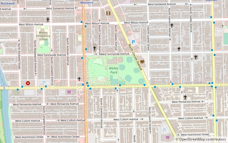
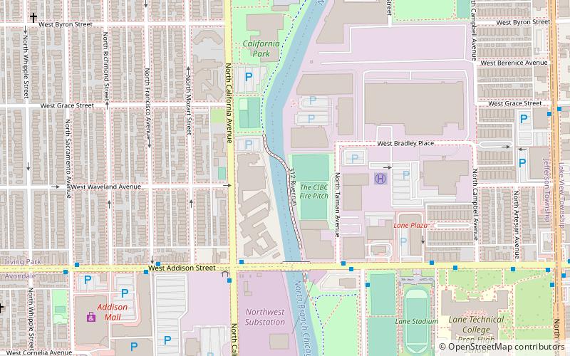
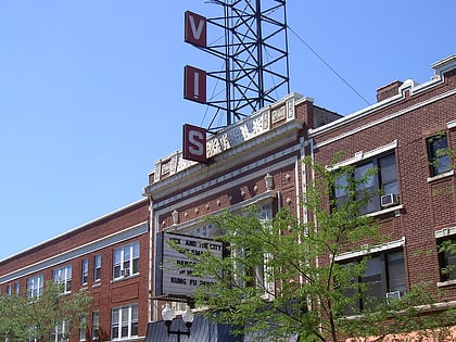
Nearby attractions include: Independence Park, Welles Park, 312 RiverRun, Davis Theater.
Frequently Asked Questions (FAQ)
Which popular attractions are close to Ravenswood Manor Historic District?
Nearby attractions include Berlin Wall Monument, Chicago (18 min walk), Davis Theater, Chicago (19 min walk), Welles Park, Chicago (20 min walk), Krause Music Store, Chicago (21 min walk).
How to get to Ravenswood Manor Historic District by public transport?
The nearest stations to Ravenswood Manor Historic District:
Metro
Bus
Metro
- Francisco • Lines: Brown (3 min walk)
- Rockwell • Lines: Brown (10 min walk)
Bus
- Montrose & Francisco WB • Lines: 78 (6 min walk)
- 2900 W Lawrence EB • Lines: 81, (N) N81 (7 min walk)
 Rail "L"