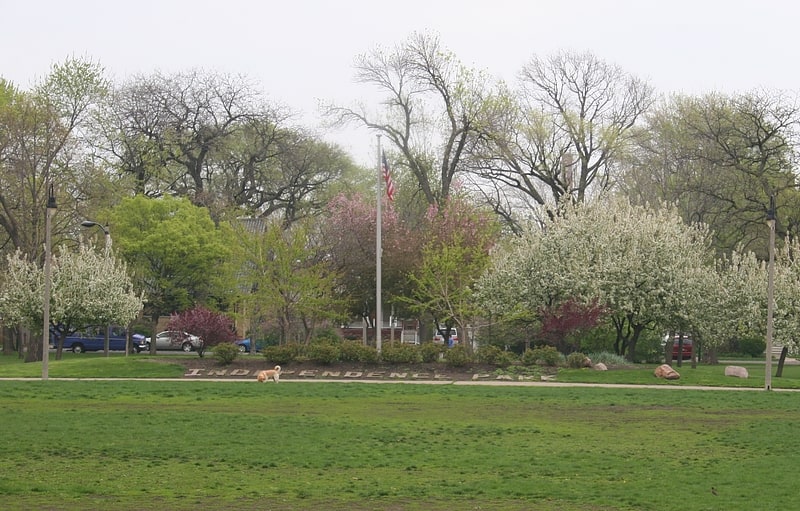
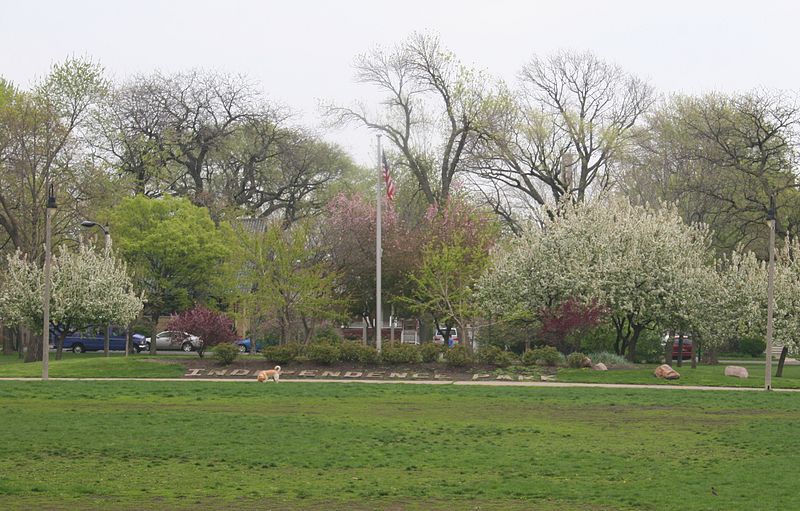
Independence Park, Chicago
Gallery (2)
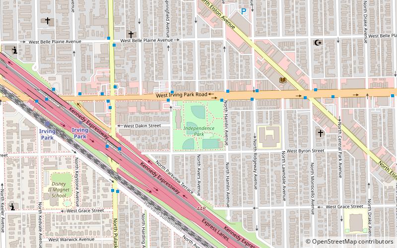
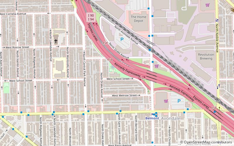
Map
Map
Gallery
Facts and practical information
Independence Park, officially Park #83 of the Chicago Park District, is a 7.16-acre recreational area in the Irving Park neighborhood of North Side, Chicago, Illinois. ()
Elevation: 594 ft a.s.l.Coordinates: 41°57'10"N, 87°43'26"W
Address
3945 N Springfield AveNorthwest Side (Irving Park)Chicago 60618
Contact
(773) 478-3538
Social media
Add
Getting there by public transportation
Public transportation stops near this location
- Metro
- Bus
- Train
 Metro
Metro
- Calculate routeIrving Park & Hamlin EB 2 min walk
- Calculate routeIrving Park 8 min walk
- Calculate routeAddison 13 min walk
- Calculate routeIrving Park 9 min walk
- Calculate routeGrayland 23 min walk
- Calculate routeMayfair 32 min walk
Maps Rail "L"
Rail "L"Day trips


Frequently Asked Questions (FAQ)
Which popular attractions are close to Independence Park?
Nearby attractions include Villa District, Chicago (9 min walk), Ropp-Grabill House, Chicago (14 min walk), Muslim Community Center, Chicago (15 min walk), St. Wenceslaus Church, Chicago (18 min walk).
How to get to Independence Park by public transport?
The nearest stations to Independence Park:
Bus
Metro
Train
Bus
- Irving Park & Hamlin EB • Lines: 80 (2 min walk)
Metro
- Irving Park • Lines: Blue (8 min walk)
- Addison • Lines: Blue (13 min walk)
Train
- Irving Park (9 min walk)
- Grayland (23 min walk)