Ala Moana, Honolulu
Map

Gallery

Facts and practical information
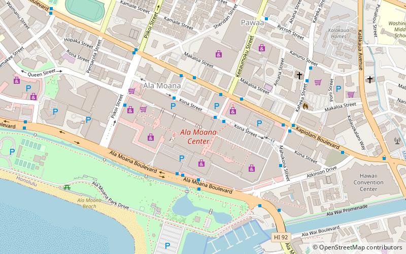
Ala Moana is a commercial, retail, and residential district of Honolulu, Hawaii. It is located between Waikiki and Moiliili to the east, and Kakaʻako and Honolulu Harbor to the west. King Street, to the north, marks the border with the neighborhood of Makiki. ()
Address
Ala Moana - KakaakoHonolulu
ContactAdd
Social media
Add
Day trips
Ala Moana – popular in the area (distance from the attraction)
Nearby attractions include: Ala Moana Center, U.S. Army Museum of Hawaii, Neal S. Blaisdell Center, Ala Moana Beach Park.
Frequently Asked Questions (FAQ)
Which popular attractions are close to Ala Moana?
Nearby attractions include Saints Peter and Paul Catholic Church, Honolulu (7 min walk), Ala Moana Beach Park, Honolulu (10 min walk), Hawaii Convention Center, Honolulu (12 min walk), Ala Wai Harbor, Honolulu (13 min walk).
How to get to Ala Moana by public transport?
The nearest stations to Ala Moana:
Bus
Bus
- Kona Street + Opposite Keeaumoku Street • Lines: 17, 18, 23, 5, 56, 57, 57A, 6, 60, 65, 8, 88A, E (2 min walk)
- Kona Street + Opposite Kona Iki Street • Lines: 40, 51, 52, 53, 6, 8, C (3 min walk)


