East Sacramento, Sacramento
Map
Facts and practical information
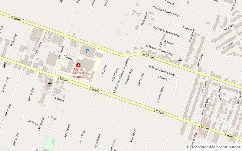
East Sacramento is a neighborhood in Sacramento, California, United States, that is east of downtown and midtown. East Sacramento is bounded by U.S. Route 50 to the south, Business Loop 80 to the west and north, Elvas Avenue to the northeast and east, and California State University, Sacramento and the American River to the southeast. East Sacramento residential development began in the 1890s, and the area was annexed into Sacramento in 1911. East Sacramento was also home to the Alhambra Theatre. East Sacramento also includes McKinley Park and the "Fabulous Forties" neighborhood. ()
Coordinates: 38°34'12"N, 121°26'60"W
Address
Central Sacramento (East Sacramento)Sacramento
ContactAdd
Social media
Add
Getting there by public transportation
Public transportation stops near this location
- Bus
- Light rail
- Train
 Bus
Bus
- Calculate route39th Street 20 min walk
- Calculate route48th Street 21 min walk
- Calculate route29th Street 31 min walk
- Calculate route59th Street 33 min walk
- Calculate route39th Street 20 min walk
- Calculate route48th Street 21 min walk
- Calculate route29th Street 31 min walk
- Calculate route59th Street 34 min walk
- Calculate routeSacramento Midtown 26 min walk
Day trips


Frequently Asked Questions (FAQ)
Which popular attractions are close to East Sacramento?
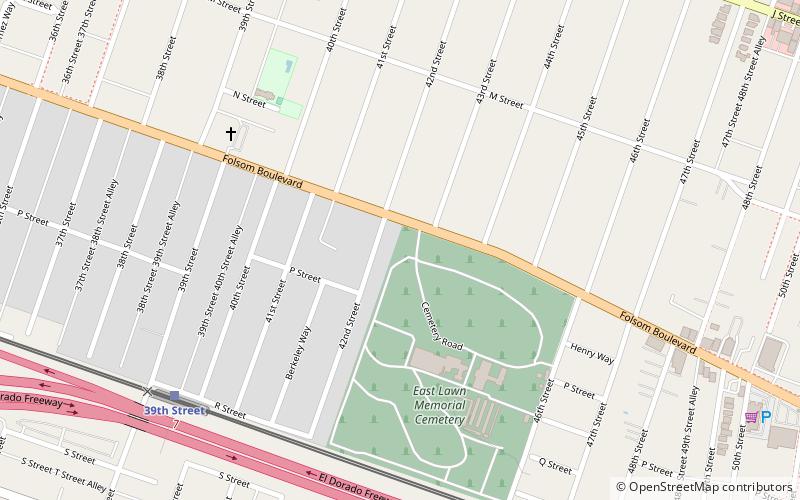
Nearby attractions include East Lawn Memorial Park, Sacramento (13 min walk), Shepard Garden and Arts Center, Sacramento (17 min walk), McKinley Park, Sacramento (18 min walk).
How to get to East Sacramento by public transport?
The nearest stations to East Sacramento:
Train
Light rail
Bus
Train
- 39th Street (20 min walk)
- 48th Street (21 min walk)
Light rail
- 39th Street • Lines: Gold (20 min walk)
- 48th Street • Lines: Gold (21 min walk)
Bus
- Sacramento Midtown • Lines: 2062, 2064 (26 min walk)