Ross Drive Bridge, Washington D.C.
Map
Facts and practical information
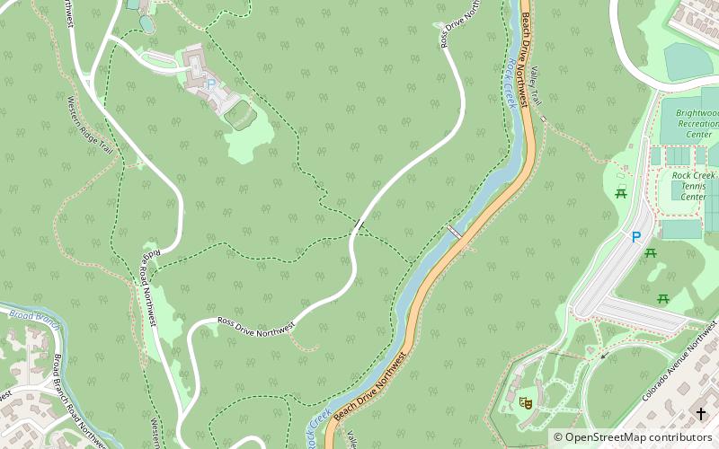
The Ross Drive Bridge is a historic bridge located in the Washington, D.C. portion of Rock Creek Park, an urban national park listed on the National Register of Historic Places. ()
Coordinates: 38°57'13"N, 77°2'45"W
Address
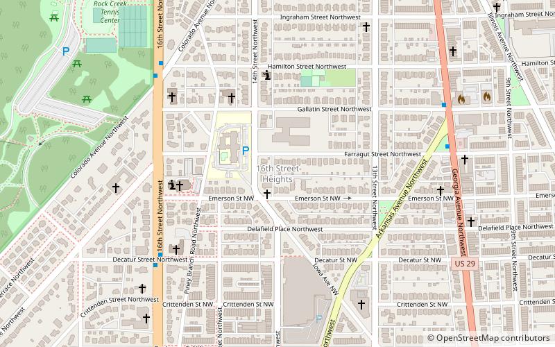
Northwest Washington (Rock Creek Park)Washington D.C.
ContactAdd
Social media
Add
Getting there by public transportation
Public transportation stops near this location
- Metro
 Metro
Metro
- Calculate routeVan Ness–UDC 30 min walk
- Calculate routeGeorgia Avenue–Petworth 42 min walk
Day trips


Frequently Asked Questions (FAQ)
Which popular attractions are close to Ross Drive Bridge?
Nearby attractions include Rock Creek Park, Washington D.C. (8 min walk), Carter Barron Amphitheatre, Washington D.C. (9 min walk), Boulder Bridge, Washington D.C. (10 min walk), Boulder Bridge and Ross Drive Bridge, Washington D.C. (10 min walk).
How to get to Ross Drive Bridge by public transport?
The nearest stations to Ross Drive Bridge:
Metro
Metro
- Van Ness–UDC • Lines: Rd (30 min walk)
- Georgia Avenue–Petworth • Lines: Gr, Yl (42 min walk)