Rock Creek Park, Washington D.C.
Facts and practical information
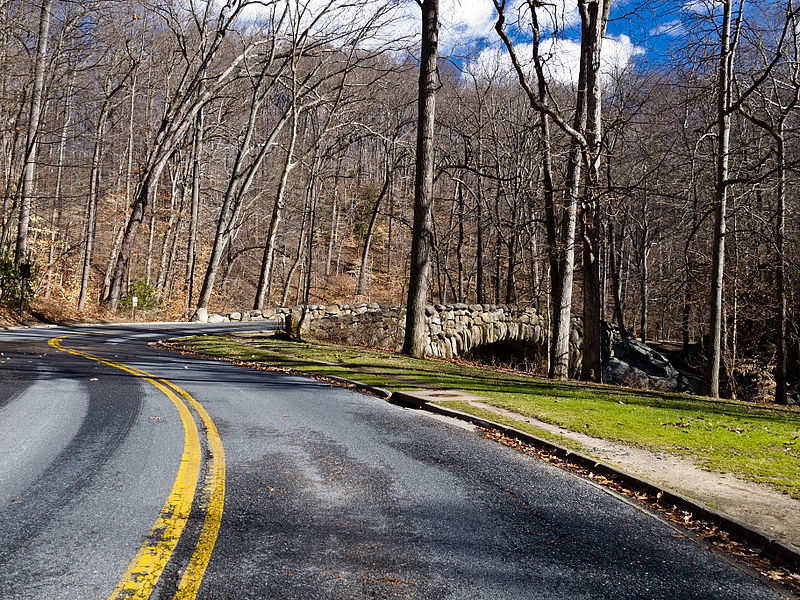
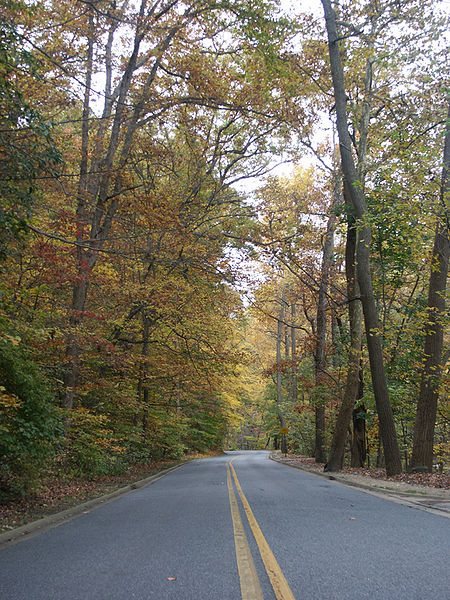
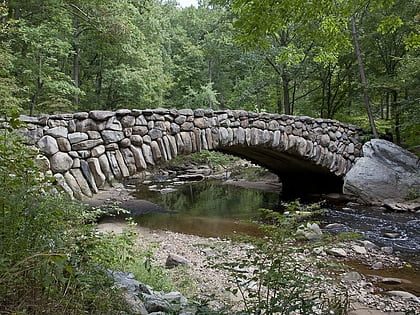
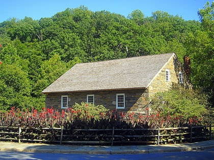
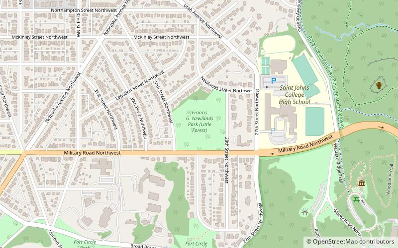
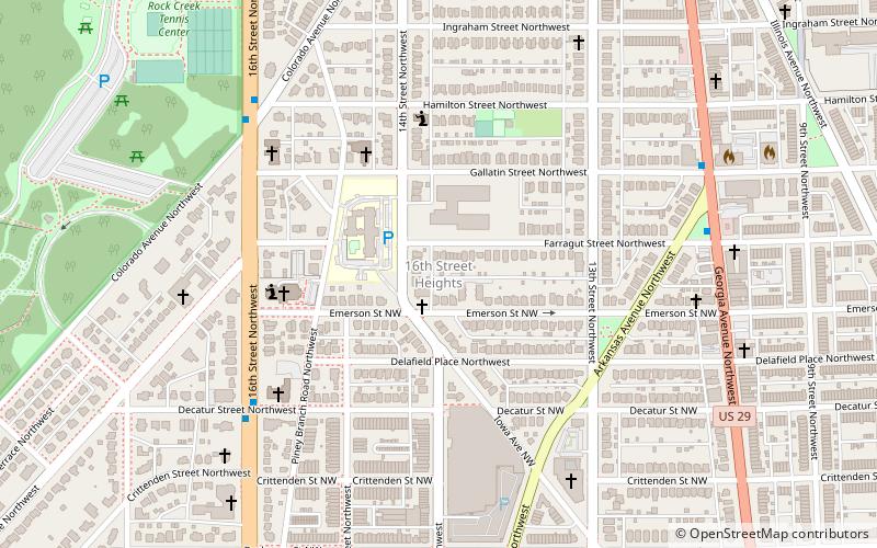
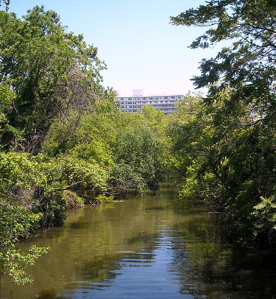
Rock Creek Park is a large urban park that bisects the Northwest quadrant of Washington, D.C. The park was created by an Act of Congress in 1890 and today is administered by the National Park Service. In addition to the park proper, the Rock Creek administrative unit of the National Park Service administers various other federally owned properties in the District of Columbia located to the north and west of the National Mall, including Meridian Hill Park on 16th Street, N.W. the Old Stone House in Georgetown, and certain of the Fort Circle Parks, a series of batteries and forts encircling the District of Columbia for its defense during the U.S. Civil War. ()
Northwest Washington (Rock Creek Park)Washington D.C.
Rock Creek Park – popular in the area (distance from the attraction)
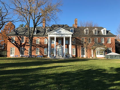
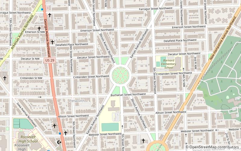
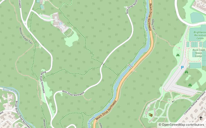
Nearby attractions include: Hillwood Estate, Sherman Circle, Ross Drive Bridge, Fort Stevens.
Frequently Asked Questions (FAQ)
Which popular attractions are close to Rock Creek Park?
How to get to Rock Creek Park by public transport?
Metro
- Van Ness–UDC • Lines: Rd (35 min walk)


