Rescue Row, San Francisco
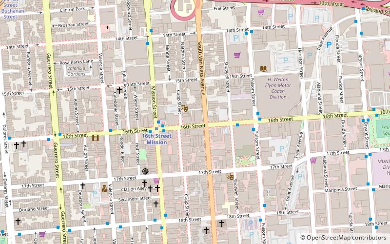
Map
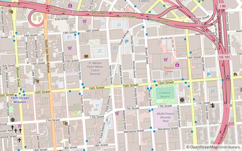
Map

Facts and practical information
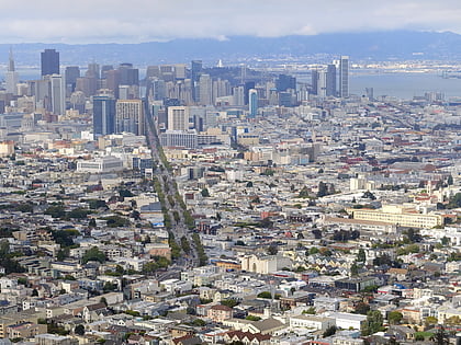
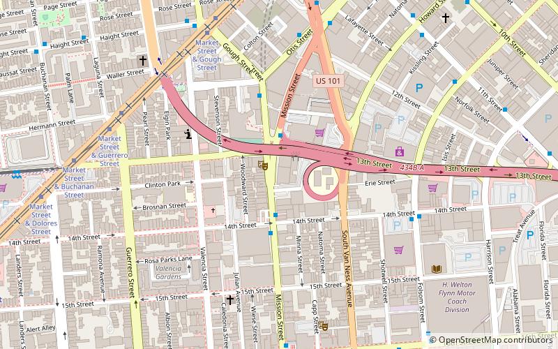
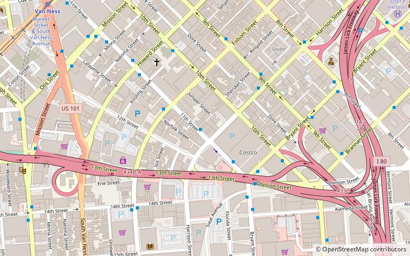
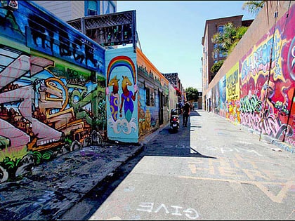
Rescue Row is a city block in the Mission District of San Francisco, California known for containing several of San Francisco’s animal rescue & pet adoption organizations. ()
Coordinates: 37°45'58"N, 122°24'45"W
Address
Southeast San Francisco (Mission District)San Francisco
ContactAdd
Social media
Add
Day trips
Rescue Row – popular in the area (distance from the attraction)
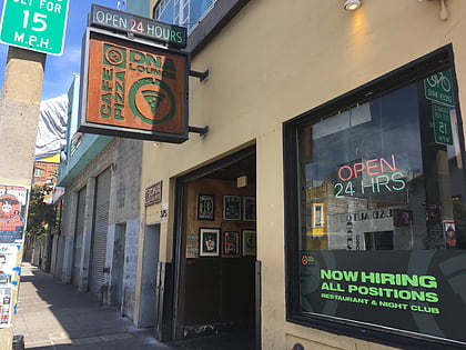
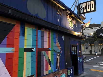
Nearby attractions include: DNA Lounge, Slim's, The Stud, Mission Workshop.
Frequently Asked Questions (FAQ)
Which popular attractions are close to Rescue Row?
Nearby attractions include Folsom Street, San Francisco (6 min walk), In Chan Kaajal Park, San Francisco (7 min walk), Catharine Clark Gallery, San Francisco (8 min walk), The Lab, San Francisco (8 min walk).
How to get to Rescue Row by public transport?
The nearest stations to Rescue Row:
Trolleybus
Bus
Metro
Tram
Light rail
Train
Trolleybus
- 16th Street & Harrison Street • Lines: 22, 33 (2 min walk)
Bus
- 16th Street & Harrison Street • Lines: 27, 55 (2 min walk)
- Bryant Street & 16th Street • Lines: 27 (4 min walk)
Metro
- 16th Street Mission • Lines: Blue, Green, Red, Yellow (11 min walk)
- Civic Center • Lines: Blue, Green, Red, Yellow (24 min walk)
Tram
- Market Street & Gough Street • Lines: F (18 min walk)
Light rail
- Van Ness • Lines: K, N, S, T (19 min walk)
- Church Street & 16th Street • Lines: J (23 min walk)
Train
- San Francisco 4th & King Street (31 min walk)
- 22nd Street (32 min walk)

 Muni Metro