Saint Anthony Park, Saint Paul
Map
Gallery
Facts and practical information
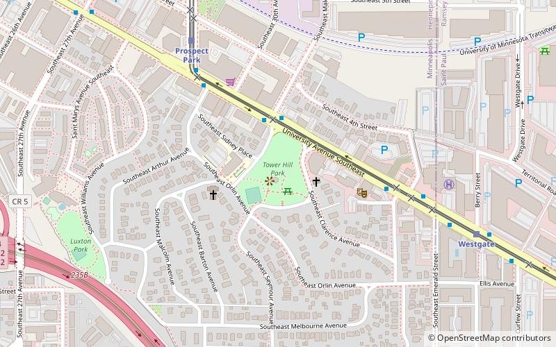
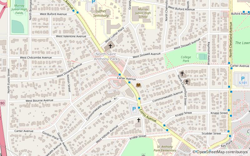
Saint Anthony Park is a neighborhood in northwest Saint Paul, Minnesota. It is adjacent to the University of Minnesota's St. Paul Campus, bordering Southeast Minneapolis on the west, the Minnesota State Fairgrounds on the east, and the suburbs of Falcon Heights and Lauderdale to the north. ()
Coordinates: 44°58'53"N, 93°11'40"W
Address
St. AnthonySaint Paul
ContactAdd
Social media
Add
Day trips
Saint Anthony Park – popular in the area (distance from the attraction)
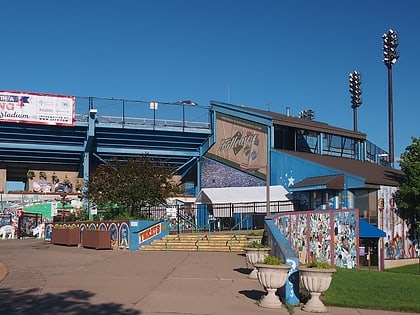
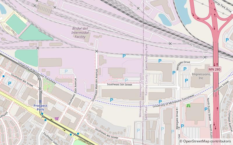
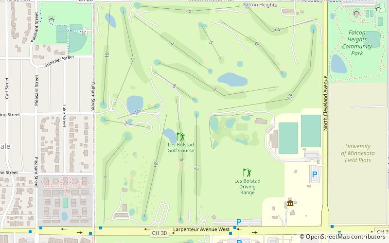
Nearby attractions include: Midway Stadium, Surly Brewing Co., Gibbs Museum of Pioneer and Dakotah Life, Les Bolstad Golf Course.
Frequently Asked Questions (FAQ)
Which popular attractions are close to Saint Anthony Park?
Nearby attractions include St. Anthony Park Branch Library, Saint Paul (2 min walk), Norway Lutheran Church, Saint Paul (6 min walk), Andrew R. McGill House, Saint Paul (9 min walk), University Grove, Minneapolis (14 min walk).
How to get to Saint Anthony Park by public transport?
The nearest stations to Saint Anthony Park:
Bus
Light rail
Bus
- Carter Av • Lines: 3, 3A, 3B, 3C, 3K, 3S (1 min walk)
- Commonwealth Av • Lines: 3, 3A, 3B, 3K (3 min walk)
Light rail
- Westgate • Lines: 902 (29 min walk)
- Prospect Park • Lines: 902 (31 min walk)

