Beacon Food Forest, Seattle
Map
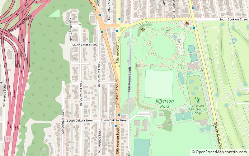
Map

Facts and practical information
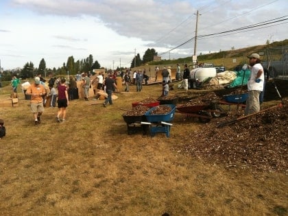
Beacon Food Forest is a 7-acre food forest in development adjacent to Jefferson Park on Beacon Hill in Seattle, Washington in the vicinity of 15th Avenue South and South Dakota Street. As the area sits on land owned by Seattle Public Utilities, it is believed to be the largest food forest on public land in the United States. The project also has more traditional private allotments, similar to those in other local P-Patch gardens. ()
Coordinates: 47°34'9"N, 122°18'47"W
Address
Beacon Hill (North Beacon Hill)Seattle
ContactAdd
Social media
Add
Day trips
Beacon Food Forest – popular in the area (distance from the attraction)
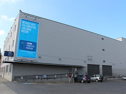
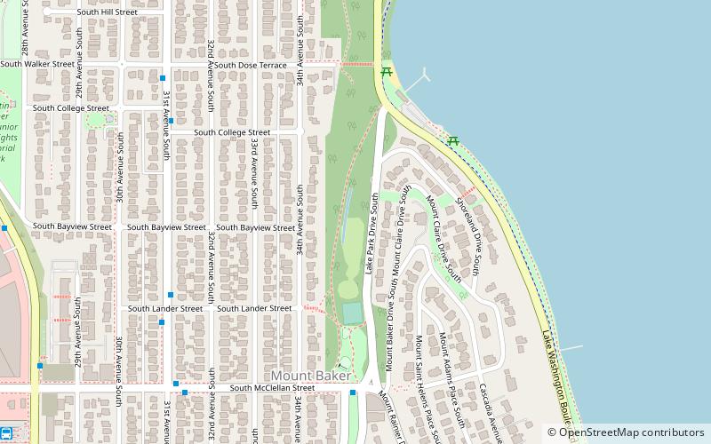
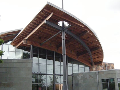
Nearby attractions include: Living Computers: Museum + Labs, Mount Baker Park, Beacon Hill Branch Library, Jefferson Park Golf Course.
Frequently Asked Questions (FAQ)
Which popular attractions are close to Beacon Food Forest?
Nearby attractions include Jefferson Park, Seattle (5 min walk), Dai Bai Zan Cho Bo Zen Ji, Seattle (10 min walk), Beacon Hill Branch Library, Seattle (16 min walk), Beacon Hill tunnel, Seattle (17 min walk).
How to get to Beacon Food Forest by public transport?
The nearest stations to Beacon Food Forest:
Bus
Light rail
Bus
- 15th Ave S & S Dakota St • Lines: 107, 50, 60 (4 min walk)
- 15th Ave S & S Spokane St • Lines: 107, 60 (5 min walk)
Light rail
- Beacon Hill • Lines: 1 (18 min walk)
- Mount Baker • Lines: 1 (23 min walk)
