Sedgeley, Philadelphia
Map
Facts and practical information
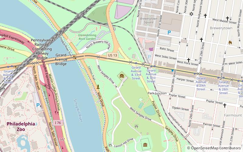
Sedgeley was a mansion, designed by the architect Benjamin Henry Latrobe, and built on the east banks of the Schuylkill River in Philadelphia, USA, in 1799-1802. ()
Coordinates: 39°58'28"N, 75°11'20"W
Address
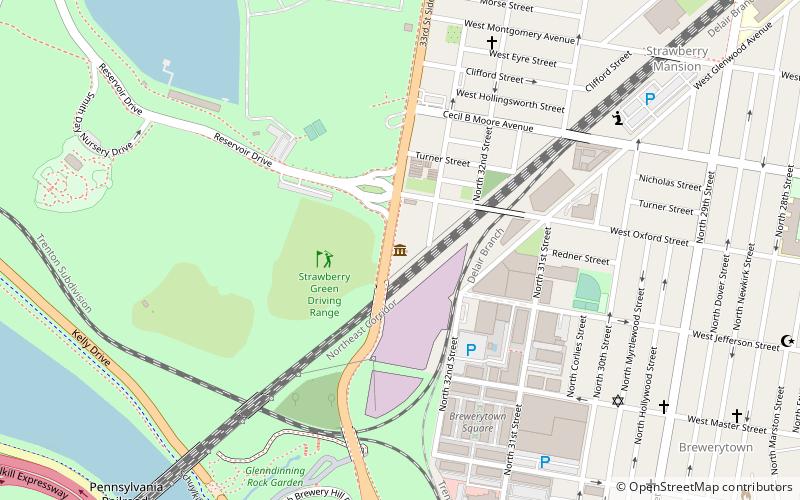
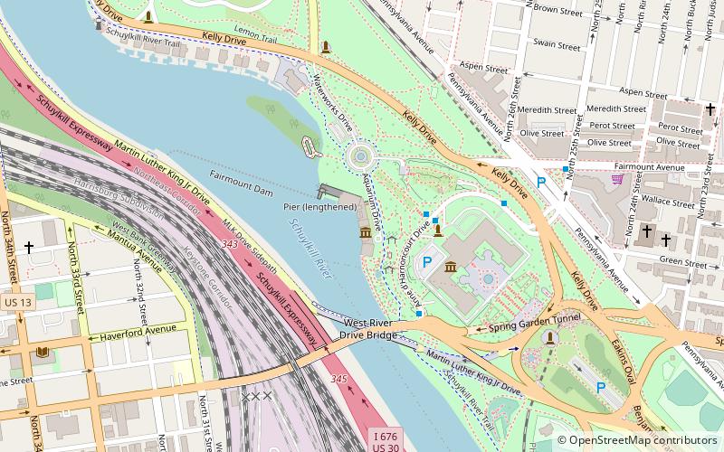
Lower North (East Park)Philadelphia
ContactAdd
Social media
Add
Getting there by public transportation
Public transportation stops near this location
- Tram
 Tram
Tram
- Calculate routeGirard Avenue & 33rd Street 2 min walk
Maps SEPTA Regional Rail
SEPTA Regional RailDay trips


Frequently Asked Questions (FAQ)
Which popular attractions are close to Sedgeley?
Nearby attractions include James Garfield Memorial, Philadelphia (3 min walk), Brewerytown, Philadelphia (5 min walk), Thirty-third Street Bridge in Philadelphia, Philadelphia (7 min walk), Lemon Hill, Philadelphia (7 min walk).
How to get to Sedgeley by public transport?
The nearest stations to Sedgeley:
Tram
Tram
- Girard Avenue & 33rd Street • Lines: 15 (2 min walk)