Cottage Farm Historic District, Boston
Map
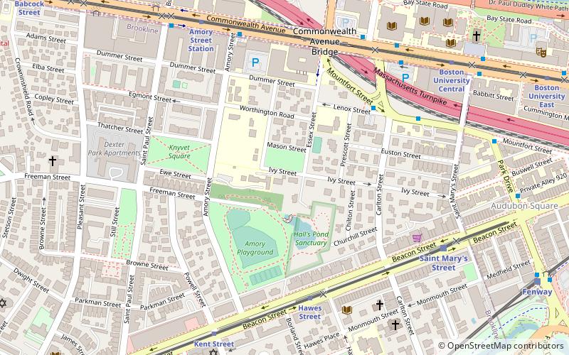
Map

Facts and practical information
The Cottage Farm Historic District is a residential area in eastern Brookline, Massachusetts, known for its association with industrialist Amos Adams Lawrence. Laid out in the 1850s and centered around the junction of Essex and Ivy Streets, it features high-quality housing on large lots, built between the 1850s and 1910s. The district was listed on the National Register of Historic Places in 1978. ()
Coordinates: 42°20'51"N, 71°6'44"W
Address
Brookline (Coolidge Corner)Boston
ContactAdd
Social media
Add
Day trips
Cottage Farm Historic District – popular in the area (distance from the attraction)
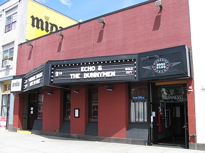
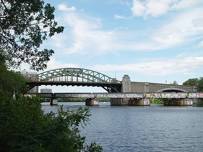
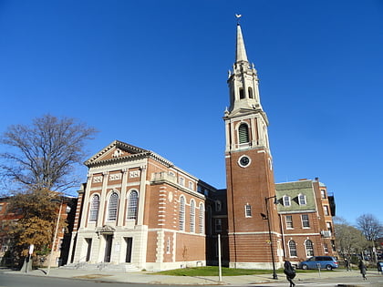
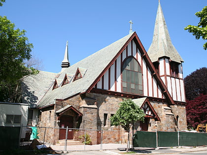
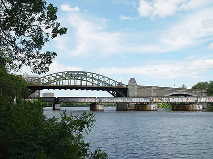
Nearby attractions include: Agganis Arena, Paradise Rock Club, Boston University Bridge, Ruggles Baptist Church.
Frequently Asked Questions (FAQ)
Which popular attractions are close to Cottage Farm Historic District?
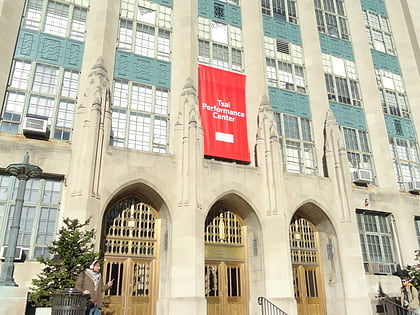
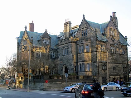
Nearby attractions include George Sherman Union, Boston (8 min walk), Temple Ohabei Shalom, Boston (8 min walk), Graffam Development Historic District, Boston (8 min walk), Church of Our Saviour, Boston (8 min walk).
How to get to Cottage Farm Historic District by public transport?
The nearest stations to Cottage Farm Historic District:
Bus
Light rail
Train
Metro
Bus
- Mountfort St @ Lenox St • Lines: 47 (5 min walk)
- Commonwealth Ave @ University Rd • Lines: 47, 57 (7 min walk)
Light rail
- Hawes Street • Lines: C (5 min walk)
- Kent Street • Lines: C (7 min walk)
Train
- Lansdowne (17 min walk)
- Ruggles (36 min walk)
Metro
- Ruggles • Lines: Orange (36 min walk)
- Roxbury Crossing • Lines: Orange (37 min walk)

 MBTA Subway
