Great Bridge, Boston
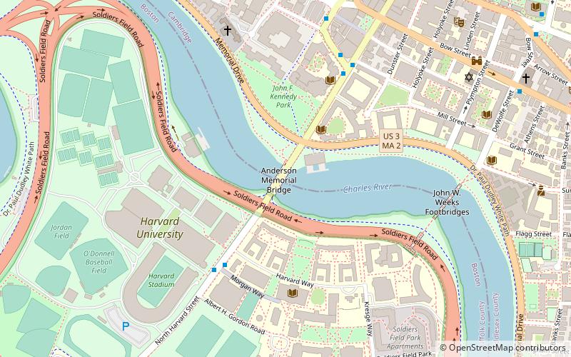
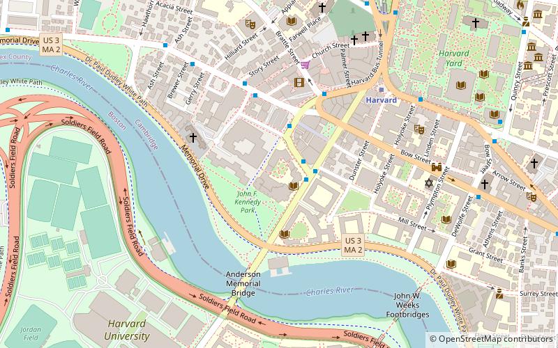
Map
Facts and practical information
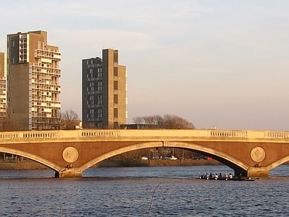
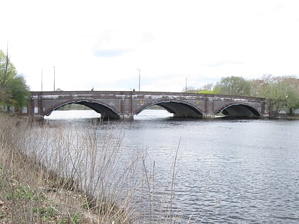
The Great Bridge over the Charles River connected Cambridge, Massachusetts, to what is now known as Allston, Boston, Massachusetts. The Great Bridge was built in 1660–1662 at what was then called Brighton Street, and was the first bridge to span the Charles. A toll was authorized in 1670. The bridge was rebuilt in 1862. ()
Coordinates: 42°22'8"N, 71°7'23"W
Address
Cambridge (Harvard Square)Boston
ContactAdd
Social media
Add
Day trips
Great Bridge – popular in the area (distance from the attraction)
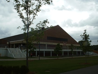
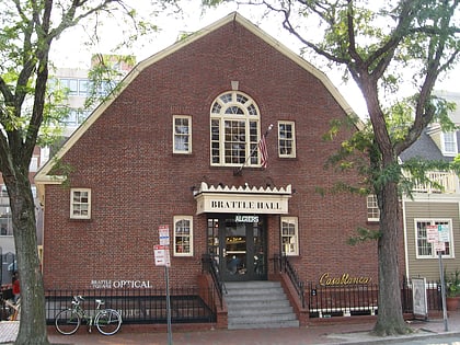
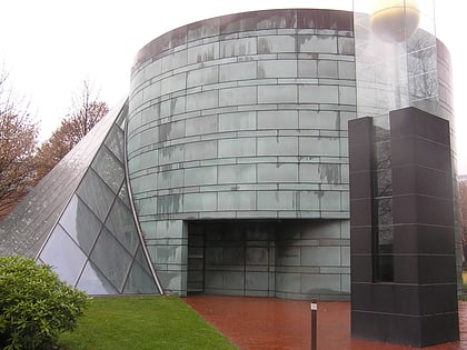
Nearby attractions include: Harvard Stadium, Bright-Landry Hockey Center, Harvard Lampoon Building, The Harvard Coop.
Frequently Asked Questions (FAQ)
Which popular attractions are close to Great Bridge?
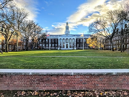
Nearby attractions include Anderson Memorial Bridge, Boston (1 min walk), Harvard University, Boston (5 min walk), Harvard Institute of Politics, Boston (5 min walk), Baker Library/Bloomberg Center, Boston (5 min walk).
How to get to Great Bridge by public transport?
The nearest stations to Great Bridge:
Bus
Metro
Bus
- Harvard Square (10 min walk)
- Mt Auburn St @ DeWolfe St • Lines: 1 (10 min walk)
Metro
- Harvard • Lines: Red (11 min walk)
- Central Square • Lines: Red (26 min walk)
 MBTA Subway
