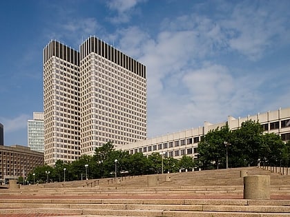
Bulfinch Triangle Historic District, Boston
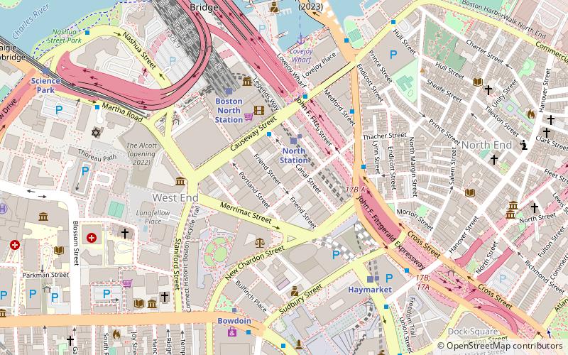
Map
Map

Facts and practical information
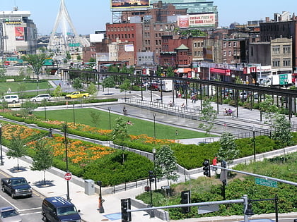
The Bulfinch Triangle Historic District is a historic district roughly bounded by Canal, Market, Merrimac, and Causeway Streets in the West End of Boston, Massachusetts. The entire district was laid out by architect Charles Bulfinch on land reclaimed from the old Mill Pond, and is now populated by well-preserved commercial buildings from the 1870s through early 1900s. It was added to the National Register of Historic Places in 1986. ()
Coordinates: 42°21'52"N, 71°3'38"W
Address
Downtown BostonBoston
ContactAdd
Social media
Add
Day trips
Bulfinch Triangle Historic District – popular in the area (distance from the attraction)
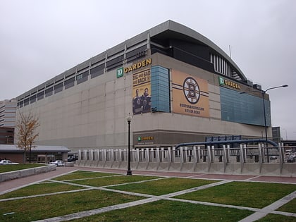
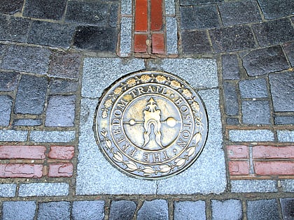
Nearby attractions include: Quincy Market, Faneuil Hall, TD Garden, Freedom Trail.
Frequently Asked Questions (FAQ)
Which popular attractions are close to Bulfinch Triangle Historic District?
Nearby attractions include Thomas P. O'Neill Jr. Federal Building, Boston (4 min walk), New Chardon Street, Boston (4 min walk), Haymarket Square, Boston (5 min walk), West End Museum, Boston (5 min walk).
How to get to Bulfinch Triangle Historic District by public transport?
The nearest stations to Bulfinch Triangle Historic District:
Light rail
Metro
Train
Bus
Light rail
- North Station • Lines: C, E (2 min walk)
- Haymarket • Lines: C, E (6 min walk)
Metro
- North Station • Lines: Orange (2 min walk)
- Haymarket • Lines: Orange (6 min walk)
Train
- Boston North Station (5 min walk)
- Boston South Station (24 min walk)
Bus
- Tremont St opp Temple Pl • Lines: 55 (16 min walk)
- Federal St @ Franklin St • Lines: 504 (17 min walk)

 MBTA Subway

