Aires Butte, Zion National Park

Gallery (2)
Map
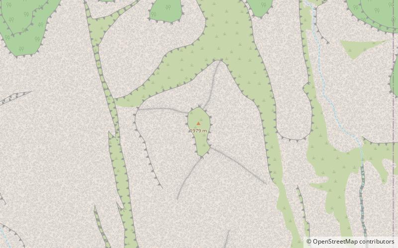
Map
Gallery
Facts and practical information
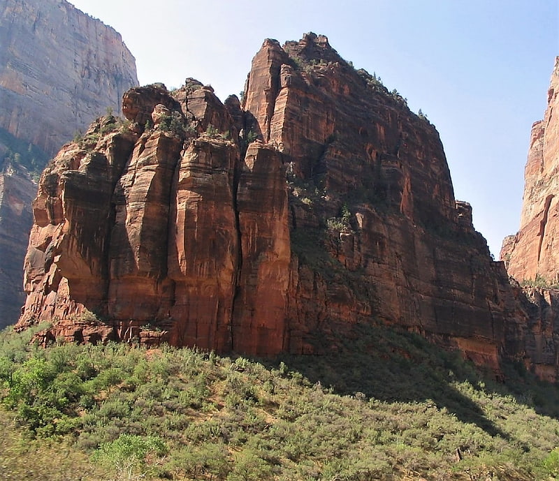
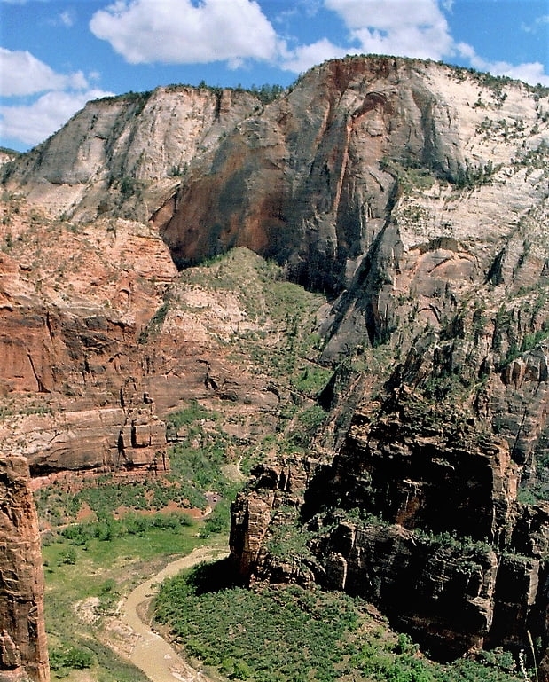
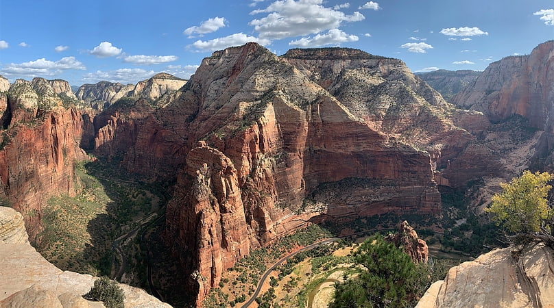
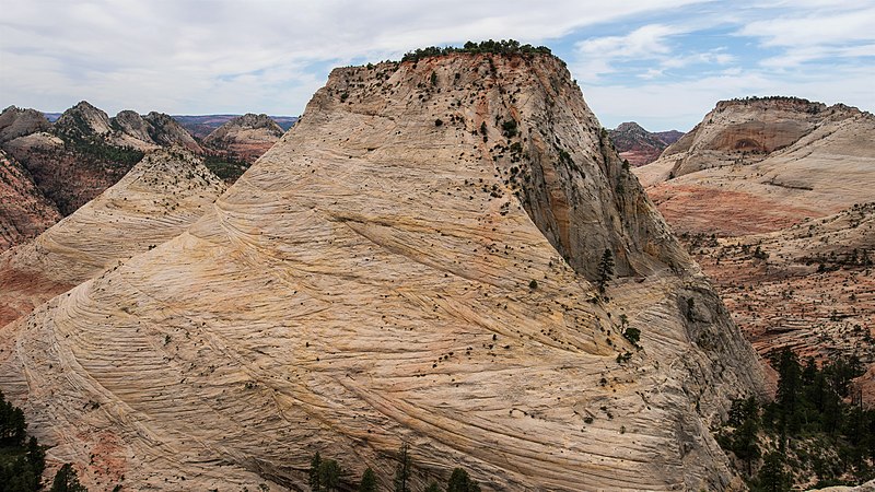
Aires Butte is a 6,492-foot summit located in Zion National Park, in Washington County of southwest Utah, United States. It is composed of white Navajo Sandstone, and rises 1,100-feet above the Zion – Mount Carmel Highway. Aires Butte is situated 0.9 mi east-northeast of Ant Hill, 1.5 mi north of Nippletop, and 1.9 mi northwest of Checkerboard Mesa. Precipitation runoff from this mountain drains into tributaries of the Virgin River. ()
Coordinates: 37°13'57"N, 112°54'27"W
Address
Zion National Park
ContactAdd
Social media
Add
Day trips