El Dorado South, Long Beach
Map
Facts and practical information
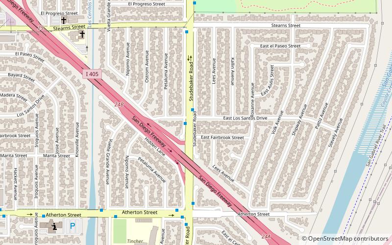
El Dorado Park South is a neighborhood located on the east side of Long Beach. It is a quiet residential neighborhood close to El Dorado Regional Park, the 605 and 405 Freeways and plenty of local shopping. The neighborhood of El Dorado Park South is very close to the Seal Beach City line and is on the Orange and Los Angeles County Line ()
Coordinates: 33°47'31"N, 118°5'56"W
Address
Long Beach (El Dorado Park South)Long Beach
ContactAdd
Social media
Add
Day trips


Frequently Asked Questions (FAQ)
Which popular attractions are close to El Dorado South?
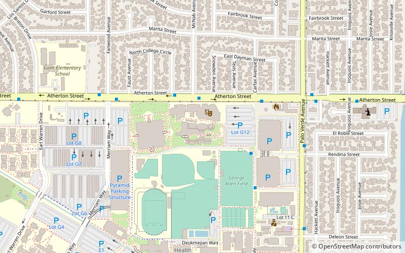
Nearby attractions include Carpenter Performing Arts Center, Long Beach (21 min walk), Department of Music at California State University, Long Beach (21 min walk), Walter Pyramid, Long Beach (24 min walk).