Mozel Sander Projects, Indianapolis
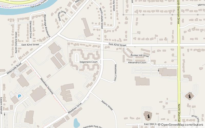
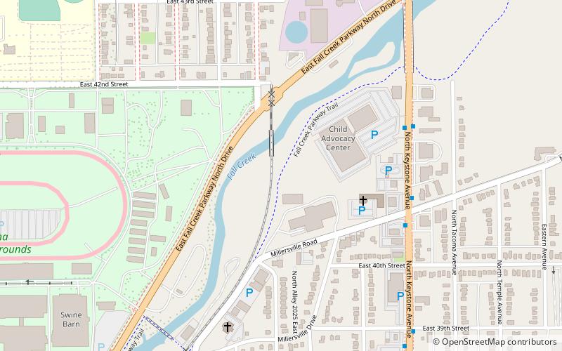
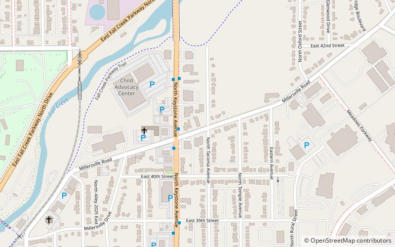
Map
Facts and practical information
The Mozel Sanders Homes is a public housing development located on the near north-eastside of Indianapolis. Constructed in 1948, they were the heart of a once-flourishing, streetcar suburban neighborhood known as simply "The Meadows". Today, as of 2006, The Meadows is the most blighted neighborhood in Indianapolis and suffers from very severe urban decay and blight. All but seven of the original twenty-two buildings remain standing. ()
Coordinates: 39°49'54"N, 86°6'33"W
Address
MeadowsIndianapolis
ContactAdd
Social media
Add
Day trips
Mozel Sander Projects – popular in the area (distance from the attraction)
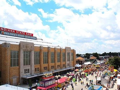
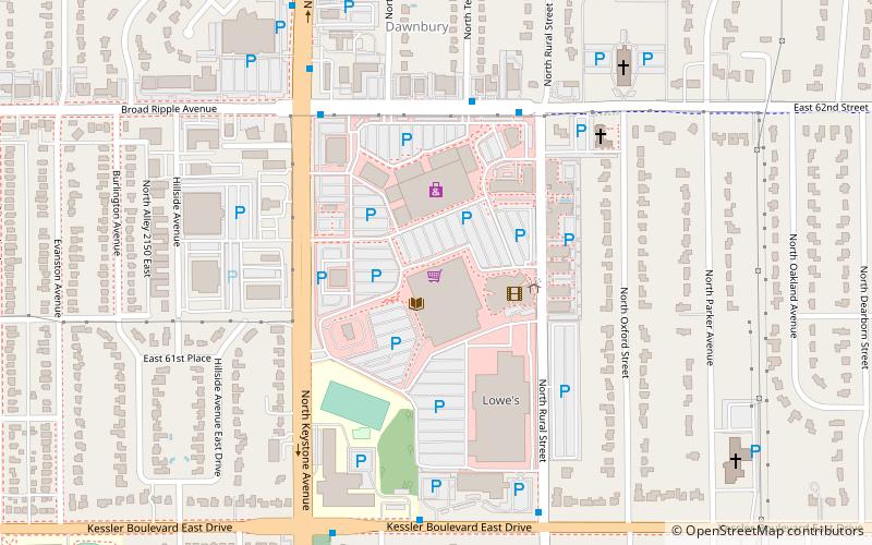
Nearby attractions include: Indiana Farmers Coliseum, Melody Inn, Glendale Town Center, Tarkington Park - Indy Parks and Recreation.
Frequently Asked Questions (FAQ)
Which popular attractions are close to Mozel Sander Projects?
Nearby attractions include Masjid Al Mu'mineen, Indianapolis (16 min walk), Fall Creek Trail, Indianapolis (23 min walk).
